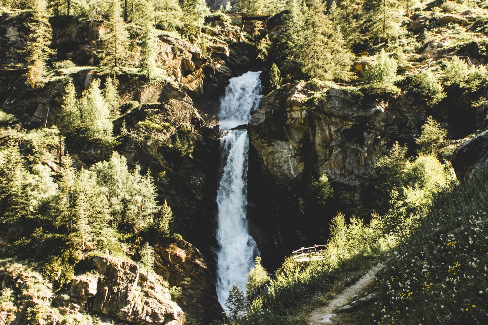
Ten walks where water shapes the entire route, from Alpine cascades and Atlantic levadas to forest gorges climbed on ladders.
A waterfall seen from a car park is a sight. A waterfall reached on foot becomes part of the day.
The trail follows the river before the sound appears. Spray cools the air, rock becomes darker and more slippery, and the valley begins to narrow. Sometimes the waterfall is the final reward. On the best waterfall hikes, it keeps returning in different forms: a high drop, a staircase of pools, a hidden cascade or an entire gorge built around moving water.
Europe offers every version of that experience. In Slovenia, a path passes behind the curtain of Peričnik. Norway's Husedalen links four large falls on the climb toward Hardangervidda. Madeira leads hikers beside an old irrigation channel into laurel forest, while Slovakia asks them to climb steel ladders beside waterfalls in a one-way gorge.
The routes below are not ranked by height. They were chosen because the walk matters as much as the waterfall. Some are easy half-day outings. Others involve exposure, river crossings, steep wet steps or a full mountain day.
More water is not always better
Waterfalls are strongest after rain and snowmelt, but the same conditions can flood paths, raise rivers and make rock dangerously slippery. Check official trail warnings before setting out.
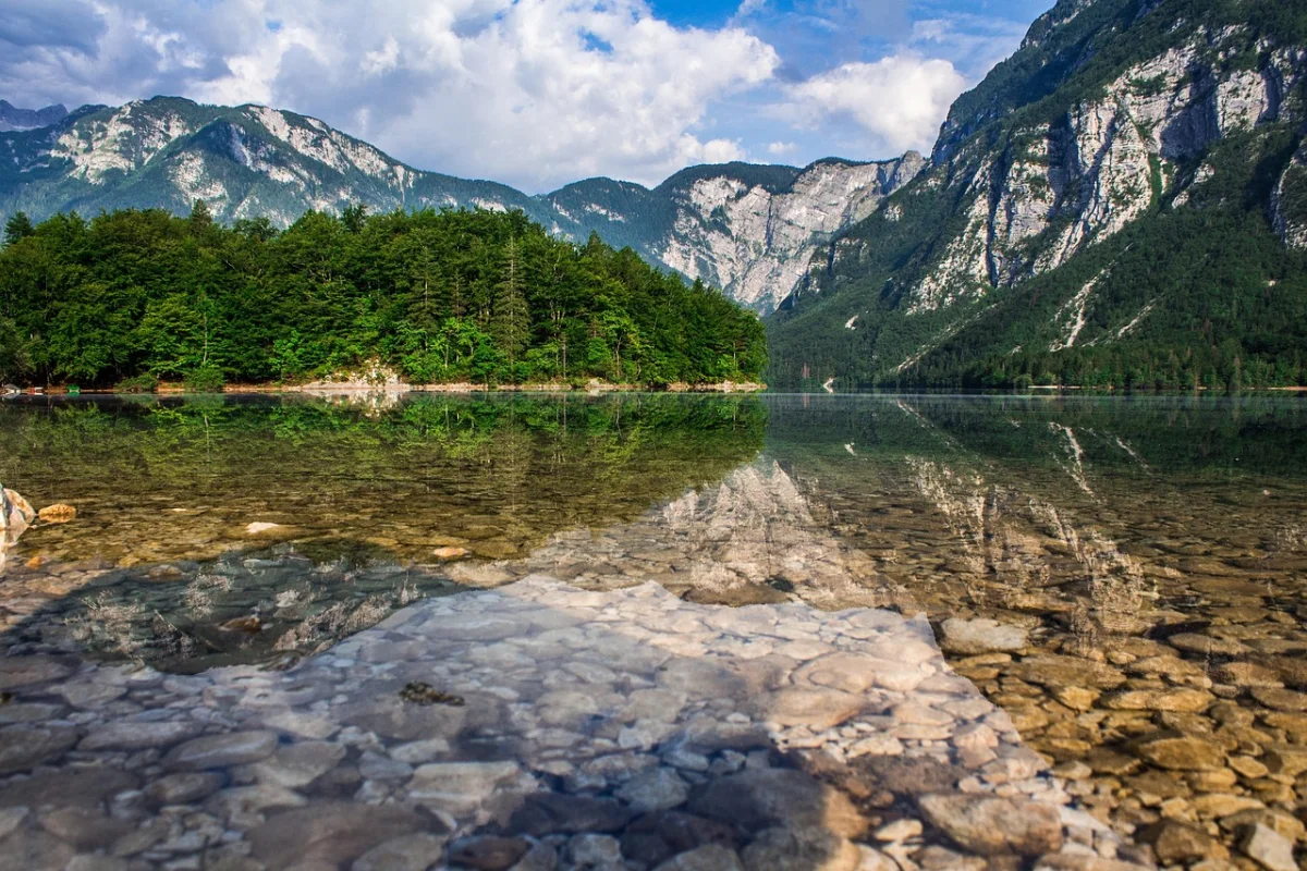
The best waterfall hikes reward patience: water makes the landscape more dramatic, but it also makes every step more consequential.
Ten Waterfall Hikes Compared
| Hike | Country | Difficulty | Distance | Character |
|---|---|---|---|---|
| Peričnik Waterfall | Slovenia | Easy–moderate | Short circuit or 10 km | Walk behind a 52 m waterfall |
| Krimml Waterfalls | Austria | Moderate | 4.15 km trail | Three major tiers and constant spray |
| Husedalen Valley | Norway | Moderate–hard | 3–6 hours | Four waterfalls on one valley climb |
| Glymur | Iceland | Moderate–hard | About 4 hours | Deep canyon, cave and river crossing |
| Levada das 25 Fontes | Portugal | Moderate | 8.6 km return | Laurel forest and a spring-fed basin |
| Four Falls Trail | Wales | Moderate | About 4 hours | Four gorge waterfalls and steep descents |
| Cascades du Hérisson | France | Easy–moderate | 7 km return | Seven falls and 31 smaller drops |
| Plitvice Lakes | Croatia | Easy–hard | 3.5–17.5 km | Lakes connected by moving curtains of water |
| Reinbach Waterfalls | Italy | Moderate | 4.9 km | Three falls in a South Tyrol forest |
| Suchá Belá Gorge | Slovakia | Moderate–hard | 8.8 km loop | Ladders and footbridges beside waterfalls |
01 · Vrata Valley · SloveniaPeričnik Waterfall
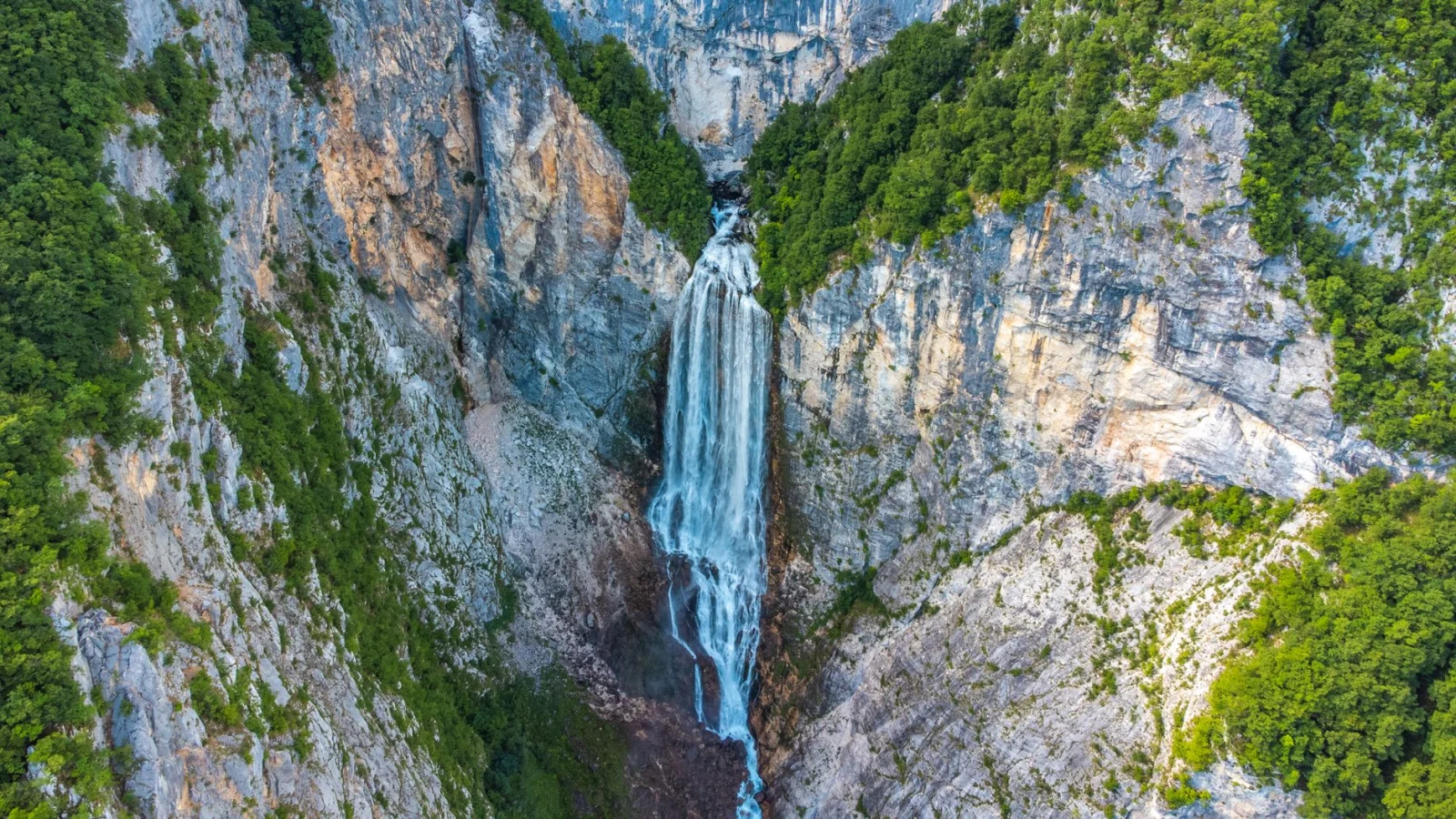
Peričnik is memorable for a simple reason: the path does not stop in front of the waterfall. It curves behind it.
The lower fall drops about 52 metres over an overhanging wall in the Vrata Valley. A rough path crosses the wet recess behind the water, where the view changes from a white curtain to the forest and valley seen through spray.
The route to walk
For a short visit, begin near Koča pri Peričniku and follow the circular trail to the lower and upper waterfalls. For a fuller day, start at the Slovenian Alpine Museum in Mojstrana and follow the Triglavska Bistrica Trail for roughly four kilometres to the waterfall. The local tourist route from Mojstrana is about 10 kilometres return and takes approximately two to four hours.
Why the short path deserves respect
The walk behind the lower fall is narrow, wet and unsecured. It may be easy in dry summer conditions and completely inappropriate when ice coats the rock. The climb to the smaller upper waterfall is steeper again.
Make it a real valley hike
Continue farther into Vrata toward Aljažev dom and the north face of Triglav, then return the same way or use seasonal transport when available. Peričnik becomes more satisfying when it is one chapter in the valley rather than a ten-minute roadside stop.
Good to know
- Wear shoes with reliable grip; the path behind the fall is normally wet.
- Do not walk behind the waterfall in icy or unsafe conditions.
- The road into Vrata has seasonal restrictions and winter closures.
- Stay on the official path to protect the steep forest slope.
02 · Salzburg · AustriaKrimml Waterfalls
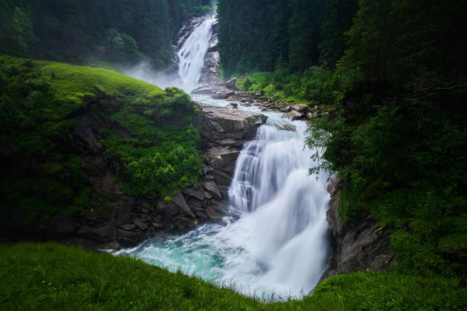
Krimml is not one clean drop but a sequence of three great stages, falling roughly 380 metres from the edge of the Krimml Achental toward the valley below.
The official waterfall trail climbs in tight bends beside the water. Viewing platforms bring hikers close enough to feel the mist, then the path pulls away into forest before the next section appears above.
The route to walk
Follow the approximately 4.15-kilometre waterfall trail from the entrance area to the upper fall. The climb gains about 431 metres. The lowest waterfall is reached quickly, while the upper section requires a sustained ascent.
Do not turn around at the first platform
Most visitors gather near the lower viewpoints. The trail becomes quieter as it rises, and the changing angle reveals the scale of the entire system. Strong hikers can continue into the Krimml Achental after reaching the top.
When to go
The official waterfall trail generally operates from mid-April to the end of October and requires an admission fee. Flow is usually strongest during snowmelt, while autumn brings cooler walking and fewer visitors.
Good to know
- Expect constant dampness near the viewing platforms.
- The lower viewpoint is accessible, but the full trail is a real climb.
- Check seasonal opening dates before travelling.
- Use public transport where practical; Krimml is connected by regional rail and bus services.
Austria Tourism: Krimml Waterfalls
Official Krimml Waterfalls information
Krimml Waterfalls — official visitor information ↗03 · Husedalen Valley · NorwayHusedalen Valley
Husedalen turns a waterfall walk into a progression. One fall is impressive. The second confirms the scale of the valley. By the time the trail reaches the upper cascades, the hike has become an approach to the Hardangervidda plateau.
The four main waterfalls are Tveitafossen, Nyastølsfossen, Nykkjesøyfossen and Søtefossen. They sit close enough to belong to one journey, but far enough apart that the path never feels like a built attraction.
The route to walk
Start near Kinsarvik and follow the marked path into Husedalen. The lower falls can be visited on a shorter outing. Reaching the uppermost waterfall and returning normally takes around five to six hours, depending on the exact starting point and conditions.
Why this is the best multi-waterfall day
Each waterfall has a different character. The trail moves through woodland, past old power infrastructure and onto more open ground as the valley rises. Instead of one climax, the route keeps resetting the scale.
Make it manageable
Turn around after the second or third waterfall when weather, energy or daylight becomes limited. Husedalen works unusually well as a flexible hike because the rewards begin early and continue for as long as you choose to climb.
Good to know
- The upper route is rougher and more demanding than the riverside approach.
- Norwegian mountain weather can change quickly even when the valley starts calm.
- Waterfall spray and rain make roots and rock slippery.
- Do not underestimate the return after climbing to the upper falls.
04 · Hvalfjörður · IcelandGlymur
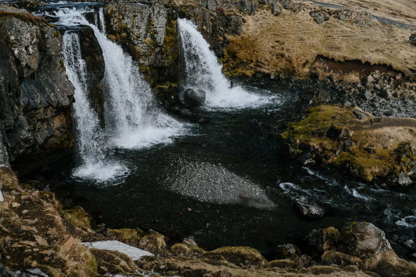
Glymur hides inside a canyon at the head of Hvalfjörður. The waterfall is not visible from the road, and the route makes hikers work for the view.
The path passes through a rock arch, crosses the Botnsá river and climbs steeply beside the gorge. From the higher trail, Glymur falls into a narrow green chasm that feels unexpectedly lush by Icelandic standards.
The route to walk
Allow about four hours for the return hike from Botnsdalur. The classic route includes a seasonal log crossing and a cable-assisted river crossing near the lower part of the trail. Some hikers make a loop by fording the river above the waterfall, but water depth and flow must be assessed conservatively.
Why timing matters
This is primarily a summer hike. The log is seasonal, the canyon paths are exposed and snow or ice can make the route unsafe. High water can remove the crossing from the day entirely.
A better decision than forcing the loop
When the upper river crossing is too deep, return on the same side. A wet-footed loop is not automatically a better hike, especially in cold or windy weather.
Good to know
- Check SafeTravel Iceland and local conditions before departure.
- Carry footwear suitable for wet rock and a possible shallow river crossing.
- Stay away from the unprotected canyon edge.
- The trailhead is reached by road; public transport is limited.
SafeTravel Iceland: Hiking and trekking guidance
05 · Madeira · PortugalLevada das 25 Fontes
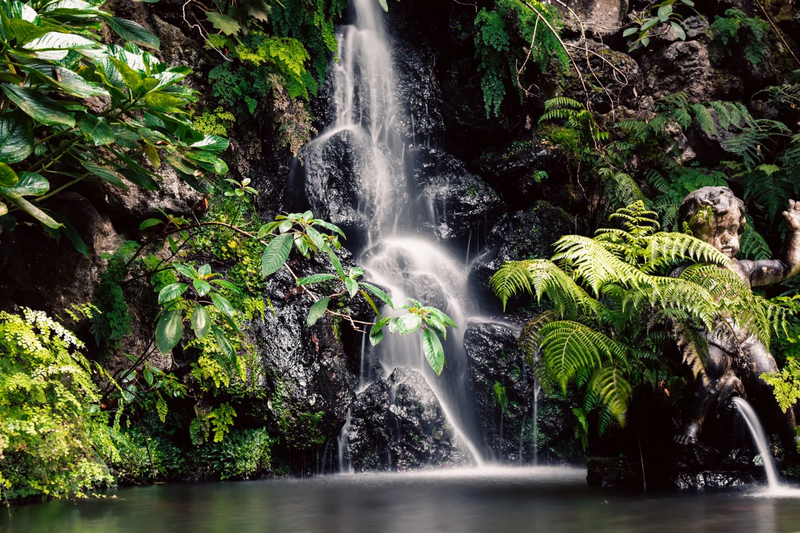
Madeira does not present its waterfalls from open valleys. It hides them in dark, green folds of laurel forest.
PR6 follows the Levada das 25 Fontes from Rabaçal into the Ribeira da Janela valley. Water moves beside the trail in the narrow irrigation channel, then gathers at a shaded basin where springs and thin falls descend from the rock wall.
The route to walk
The official trail is 4.3 kilometres each way, or 8.6 kilometres return, and takes about three hours. It is graded moderate. Combine it with the short PR6.1 Levada do Risco branch when access and time allow.
The problem is not the distance
The trail is narrow and extremely popular. Passing other hikers can be slow, while wet levada edges and stone steps demand attention. Early starts improve both safety and atmosphere.
Current access rules
Madeira now requires advance registration and payment for its classified PR walking trails. Rules, fees and trail status can change, so use the official tourism page and SIMplifica portal shortly before the hike.
Good to know
- The forest remains damp even when the coast is sunny.
- Do not block the narrow trail at the final basin.
- Check whether temporary one-way or bypass arrangements are in place.
- Cloud and rain on the Paul da Serra plateau may differ from conditions in Funchal.
06 · Brecon Beacons · WalesFour Falls Trail
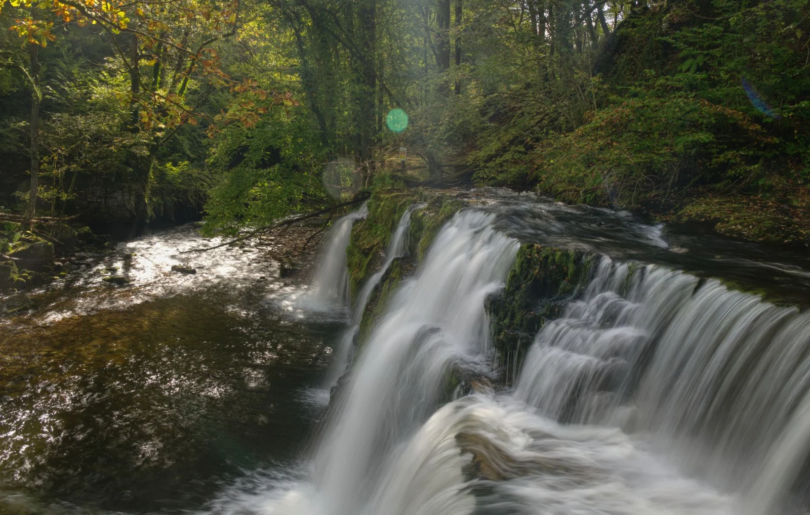
The Four Falls Trail enters a landscape known simply as Waterfall Country, where rivers cut deep wooded gorges before joining the River Neath.
The route reaches Sgwd Clun-Gwyn, Sgwd Isaf Clun-Gwyn, Sgwd y Pannwr and Sgwd yr Eira. The last is famous for the path that passes behind the falling water, but the full walk is defined by repeated descents into the gorge and climbs back to the main trail.
The route to walk
Allow around four hours for the marked Four Falls Trail from the main Waterfall Country access points. The route is physically more demanding than a simple forest walk because every waterfall requires a steep descent and return climb.
Why caution matters here
The steps are uneven, often slippery and close to steep drops and fast water. Serious accidents have occurred in the area. Remain on the official route and do not follow informal paths toward the edge or pools.
When the forest works best
Autumn adds colour and water, but also mud and shorter daylight. Spring provides strong flow and longer days. Summer weekends bring heavy pressure to car parks and the most popular waterfall approaches.
Good to know
- Expect at least four hours for the full route, not including long stops.
- Do not swim beneath the falls or enter fast water.
- Use official parking and follow local traffic guidance.
- Mobile reception may be limited in the gorges.
Bannau Brycheiniog National Park: Waterfall Country
07 · Jura · FranceCascades du Hérisson
The Hérisson is not one waterfall but a river in stages. Over a short, wooded valley it forms 31 drops, including seven main cascades.
The best-known are L’Éventail and Grand Saut, but the pleasure of the route comes from the smaller transitions between them: stone bridges, damp forest, rushing channels and the repeated sound of water somewhere ahead.
The route to walk
The standard out-and-back waterfall trail is about seven kilometres with roughly 286 metres of ascent and descent, taking around three hours. A longer 11.6-kilometre circuit adds more forest and requires about four hours.
Choose the season for the water
Spring and autumn usually produce the strongest flow. In late summer, some cascades may shrink considerably. Winter can transform the valley into ice, but the trail then requires winter judgement and equipment.
Make it quieter
Begin at first light or use one of the upper access points rather than arriving with the main midday flow near Maison des Cascades. The route is popular enough that timing matters more than trying to find a secret path.
Good to know
- Hiking footwear is recommended in every season.
- The path can be slick even during dry weather.
- Dogs must be kept on a lead.
- Several access points allow shorter family walks.
Jura Tourism: Cascades du Hérisson
Jura Tourism: Seven-kilometre waterfall route
08 · Plitvice Lakes · CroatiaPlitvice Lakes
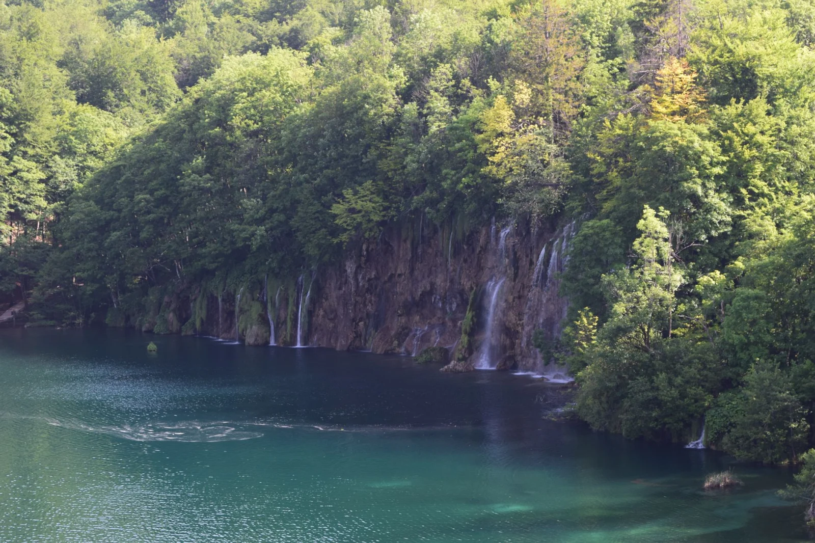
Plitvice does not behave like a conventional waterfall destination. Sixteen lakes spill into one another across living tufa barriers, producing curtains, channels and cascades that change with water level and season.
The wooden walkways are famous, but the park is large enough to become a real walking day. Visitors who choose the shortest programme see Veliki Slap and the Lower Lakes. Those who keep going reach the quieter Upper Lakes and a more complex network of falls.
The route to walk
For a balanced first visit, use Programme C or H, which covers both the Upper and Lower Lakes with walking, boat and panoramic transport sections. Strong walkers seeking a fuller day can choose Programme K: approximately 16.5 to 17.5 kilometres and six to eight hours, depending on the entrance.
Why the long route is better
The shortest programmes concentrate visitors around the same viewpoints. The longer route spreads the day across forest, lake shores, canyon edges and the less hurried Upper Lakes.
This is a protected system, not a swimming stop
Remain on marked paths and boardwalks. Swimming is prohibited, and leaving the route damages the tufa-forming environment while creating a serious fall risk.
Good to know
- Reserve entry in advance during busy periods.
- Boat and panoramic vehicle operations depend on season and conditions.
- Boardwalks can be slippery after rain or frost.
- Use the official programme map rather than improvising between zones.
Plitvice Lakes National Park: Lake tour programmes
09 · South Tyrol · ItalyReinbach Waterfalls
Above Campo Tures in South Tyrol, the Reinbach river drops through forest in three separate cascades. The walk links them on a steady climb inside the Rieserferner-Ahrn Nature Park.
The St. Francis Path adds ten meditation stations and a small chapel to the route, but the landscape remains the stronger presence. Each waterfall appears larger and more forceful as the path gains height.
The route to walk
The full hike is approximately 4.9 kilometres with 326 metres of ascent and takes around two hours. The first waterfall can be reached in roughly twenty minutes, while continuing to all three creates a compact but satisfying half-day outing.
Why it works as a family progression
The route allows a group to turn around after the first or second fall without feeling that the day has failed. Stronger walkers can continue beyond the third cascade toward the higher forest and valley paths.
Make it quieter
Begin early and climb before stopping at the lower viewpoints. Most casual visitors do not continue through the full sequence.
Good to know
- The path becomes steeper after the accessible lower section.
- Snowmelt gives the falls power but can leave the route wet.
- A local bus serves the Cascade stop from Campo Tures.
- The optional Fly-Line attraction operates separately and seasonally.
South Tyrol: Hike to the Reinbach Waterfalls
10 · Slovak Paradise · SlovakiaSuchá Belá Gorge
Suchá Belá is the route in this guide where the waterfall becomes the trail.
The gorge climbs upstream through the Slovak Paradise National Park using metal ladders, steps and footbridges fixed beside cascades. Misové, Okienkový, Korytový and Bočný waterfalls arrive in sequence as the walls narrow.
The route to walk
The standard loop begins at Podlesok, climbs through the one-way gorge and returns by forest paths. It covers about 8.8 kilometres, gains roughly 471 metres and takes around three and a half hours.
Why this is not an ordinary moderate hike
The statistics look approachable. The ladders change the experience. Hikers need a head for heights, free hands and enough confidence to climb above running water without rushing the people ahead.
Crowds become a safety issue
The gorge is one-way upstream and extremely popular. Summer queues can form at the Misové waterfalls. Starting early is not merely more peaceful; it reduces waiting on wet ladders.
Good to know
- Use waterproof hiking footwear and keep spare socks in your pack.
- The gorge is crossed only in the marked upstream direction.
- A visitor fee applies.
- Check the official live status for closures, high water, ice and falling-tree warnings.
Slovak Paradise: Suchá Belá route and live status
Which Waterfall Hike Should You Choose?
For the Most Powerful Single Experience
Choose Krimml for scale, Peričnik for the path behind the water or Glymur for the drama of a hidden canyon.
For Several Waterfalls in One Day
Husedalen is the strongest mountain option. Cascades du Hérisson is more compact, while the Four Falls Trail adds deep forest gorges and repeated climbs.
For a Beginner-Friendly Walk
The lower Reinbach route, the shorter Hérisson options and selected Plitvice programmes provide the easiest introductions. Wet surfaces still require proper footwear.
For an Adventure With Ladders
Suchá Belá is the clear choice. It is also the wrong choice for hikers who dislike exposure, queues on ladders or close contact with wet rock.
For a Green Atlantic Landscape
Choose Madeira. The waterfall is smaller than Krimml or Glymur, but the levada, laurel forest and enclosed basin create a completely different kind of day.
The Best Time for Waterfall Hiking in Europe
Spring
Snowmelt and seasonal rain give Alpine and northern waterfalls their strongest flow. Trails may also carry snow, ice, fallen branches and dangerously high water.
Summer
High mountain routes become accessible, and seasonal bridges or transport are more likely to operate. Popular waterfalls can be crowded, while lower falls in dry regions may lose much of their volume.
Autumn
Cooler air, rain and forest colour make autumn particularly good for Wales, the Jura, Slovenia and South Tyrol. Shorter daylight and slippery leaves require more conservative timing.
Winter
Frozen waterfalls are spectacular but change the activity completely. Routes behind falls, on ladders or near canyon edges may require winter equipment and specialist judgement or may be closed altogether.
Waterfall Hiking Safety: The Hazards Are Close Together
Slippery Rock
Water-polished stone, algae, mud and wet wooden steps can be slick even on a sunny day. Slow down before viewpoints and use handrails where provided.
Falling Water and Falling Rock
Do not stand beneath unstable overhangs or leave the official path to approach the base of a fall. Freeze-thaw cycles and heavy rain can loosen rock from canyon walls.
Fast Water
Pools below waterfalls may contain strong currents, submerged rock and recirculating water. A calm-looking edge can lead directly into a dangerous drop.
River Crossings
Never assume that a crossing described in a guide is safe today. Water level, temperature and current matter more than the route description. Turn back when the crossing is uncertain.
Crowds
Queues create pressure to move faster on ladders, wet ledges and narrow bridges. Leave space, do not overtake in exposed sections and begin early on popular routes.
What to Pack for a Waterfall Hike
- Hiking shoes with reliable wet-surface grip.
- Waterproof jacket even when rain is not forecast.
- Warm layer for spray-cooled gorges and long stops.
- Offline map and current official trail status.
- Small dry bag or waterproof pouch for electronics.
- Trekking poles for muddy approaches, but stow them before ladders.
- Spare socks on routes with river crossings or deep spray.
- Headlamp for wooded gorges and shorter autumn days.
- Enough water and food; visible water is not automatically drinkable.
- Gloves for cold metal ladders outside summer.
Frequently Asked Questions
What Is the Best Waterfall Hike in Europe?
Husedalen offers the strongest full hiking day, linking four large waterfalls in a mountain valley. Peričnik provides the most unusual short experience, while Krimml delivers the greatest scale on a maintained trail.
Which Waterfall Hike Is Best for Beginners?
Choose the lower Reinbach waterfalls, a shorter Cascades du Hérisson route or one of Plitvice’s shorter official programmes. None should be treated as slip-proof in wet weather.
Can You Walk Behind a Waterfall in Europe?
Yes. The path at Slovenia’s Peričnik passes behind the lower waterfall, and Sgwd yr Eira on the Four Falls Trail in Wales is also known for a route behind the water. Conditions can make either path unsafe.
When Are European Waterfalls at Their Strongest?
Alpine and northern waterfalls often peak during spring and early-summer snowmelt. Rain-fed falls may be strongest in autumn or after storms. Maximum flow does not necessarily mean the safest hiking conditions.
Are Waterfall Hikes Safe After Heavy Rain?
They may not be. Heavy rain can flood paths, raise river crossings, trigger falling rock and create dangerous currents. Check official closures and wait when local guidance recommends it.
Do I Need Waterproof Boots?
Waterproof footwear is useful in gorges and on muddy approaches, but grip matters even more. A waterproof boot with a worn smooth sole is a poor choice on wet rock.
Which Routes Work Without a Car?
Krimml, Peričnik, Reinbach and parts of Plitvice can be approached using public transport with advance planning. Madeira and rural waterfall areas often require a shuttle, taxi or carefully timed bus connection.
Can I Swim Below the Waterfalls?
Do not assume so. Swimming is prohibited at Plitvice, and pools below many falls contain dangerous currents or are protected environments. Follow the specific local rules.
Final Thoughts
The best waterfall hikes in Europe do more than deliver a viewpoint.
Peričnik lets the trail pass behind the water. Krimml turns one river into a long climb beside three great tiers. Husedalen builds a day from four separate falls, while Glymur hides its cascade inside a canyon that must be approached with care.
Madeira and Plitvice show water shaping entire landscapes. Wales and the French Jura place it inside green gorges. Reinbach offers a compact Alpine progression, and Suchá Belá removes the distance between route and waterfall almost completely.
Go early, wear shoes that work when the ground is wet and let high water change the plan. Spray is part of the attraction. Slippery stone is part of the responsibility.