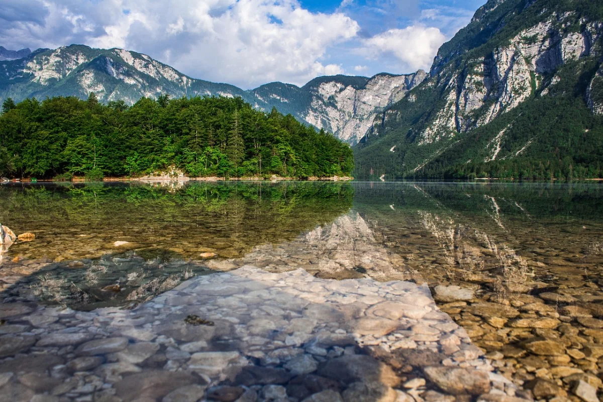
Ten walks where the lake is more than a viewpoint — from Alpine basins and volcanic craters to forest lochs and Pyrenean valleys.
Europe has no shortage of beautiful lakes. The more interesting question is what happens when you keep walking.
A road can take you to the shore of Lake Bohinj, Buttermere or Sete Cidades. A trail changes the experience. The water appears and disappears between trees, shifts colour as the angle changes and gradually reveals the mountains, cliffs or crater that hold it in place.
The best lake hikes are not always the routes with the brightest water. Some are worth walking because they circle a shoreline without climbing high. Others require ladders, exposed ledges or a long ascent before the lake finally comes into view. A few are famous enough that finding quiet requires an early alarm rather than an undiscovered path.
The ten hikes below were chosen for variety. They range from gentle low-level circuits to serious mountain days and include routes in the Alps, Pyrenees, Balkans, British uplands and the volcanic landscape of the Azores.
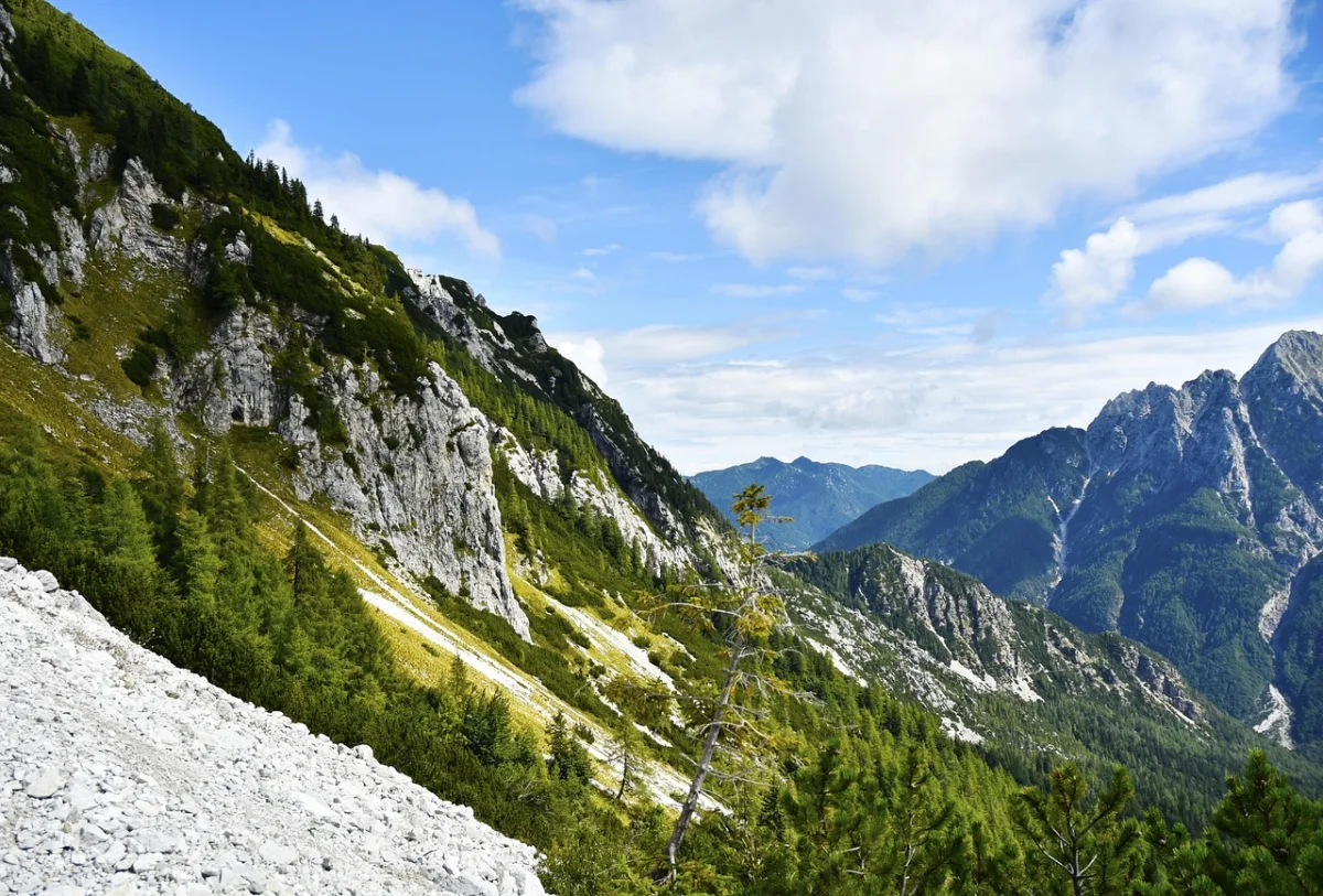
The best lake hikes are not always the routes with the brightest water. Some are worth walking because of what happens on the way there and the sense of scale once you arrive.
Lake Hikes in Europe at a Glance
| Hike | Country | Difficulty | Distance | Character |
|---|---|---|---|---|
| Lake Bohinj Circuit | Slovenia | Easy–moderate | 11 km | Forest, villages and open shoreline |
| Lago di Sorapis | Italy | Moderate–hard | Half day | Turquoise water and exposed sections |
| Oeschinensee | Switzerland | Easy to hard | Flexible | Waterfalls beneath steep Alpine walls |
| Lünersee Circuit | Austria | Easy | 6.25 km | High lake with a gentle full circuit |
| Lac Blanc | France | Moderate | Half day | Mont Blanc reflections and high views |
| Estany de Sant Maurici | Spain | Easy to hard | Flexible | Pyrenean lakes and granite peaks |
| Seven Rila Lakes | Bulgaria | Moderate | Half day | A chain of glacial lakes |
| Buttermere Circuit | England | Easy–moderate | 7 km | A complete valley in one short walk |
| Sete Cidades Rim | Portugal | Easy | 7.5–11.8 km | Volcanic lakes seen from above |
| Loch an Eilein | Scotland | Easy | 5 km | Pine forest and an island castle |
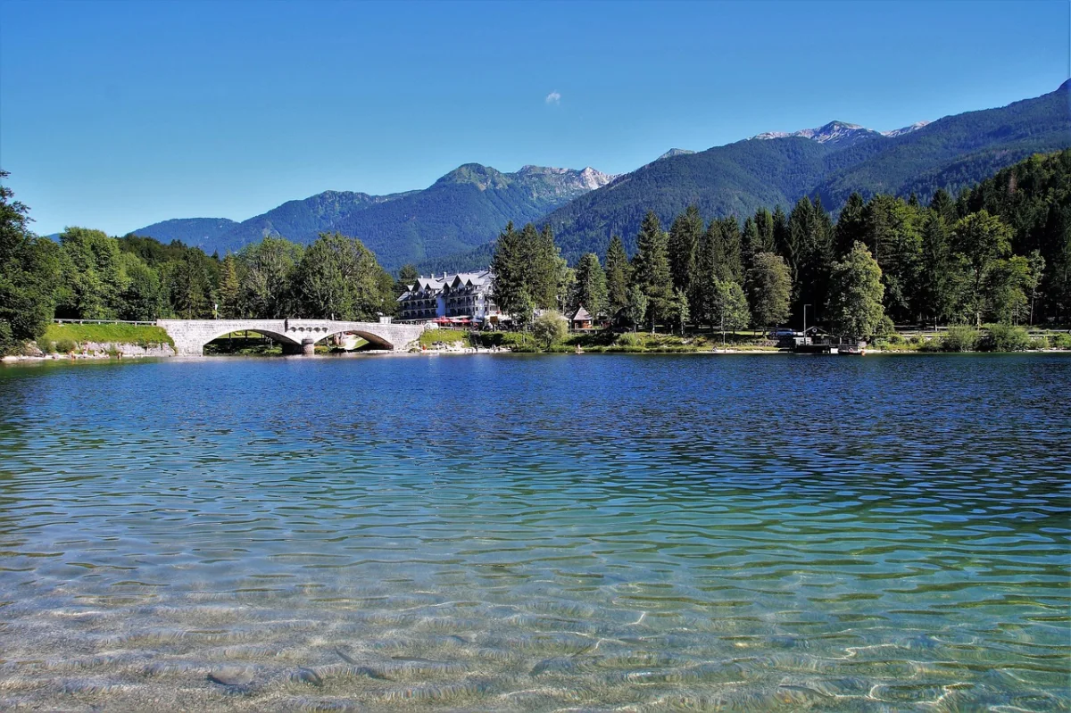
01 · Lake BohinjLake Bohinj Circuit, Slovenia
Lake Bohinj does not need a dramatic reveal. The trail begins beside the water and spends most of the day refusing to leave it.
The full circuit is just over 11 kilometres, passing forest, gravel beaches, small settlements and open views toward the Julian Alps. The southern side is busier and more developed. The northern shore feels quieter, especially early in the morning, when the surface may still be holding reflections of the surrounding slopes.
The route to walk
Begin in Ribčev Laz and follow the shoreline in either direction. Walking clockwise places the quieter northern side earlier in the day. The route can be shortened by using a bus or boat connection when services are operating, but the full circuit gives the clearest sense of the lake’s scale.
Why it belongs here
Many Alpine lakes are seen from a single terrace or reached by one steep path. Bohinj is different. The hike keeps changing the relationship between trail and water — sometimes close enough to touch, sometimes hidden behind trees, and sometimes opening suddenly beneath the mountains.
Make it quieter
Walk the northern shore before breakfast or outside the busiest summer weekends. Continue beyond the first swimming areas, where day visitors begin to thin out.
Good to know
- The circuit is mostly low-level but includes uneven and occasionally wet sections.
- Public transport reaches Ribčev Laz and other points around Bohinj.
- High mountain conditions above the lake can differ sharply from the shoreline forecast.
- Bathing rules differ between Lake Bohinj and the protected high-altitude lakes elsewhere in Triglav National Park.
02 · DolomitesLago di Sorapis, Italy
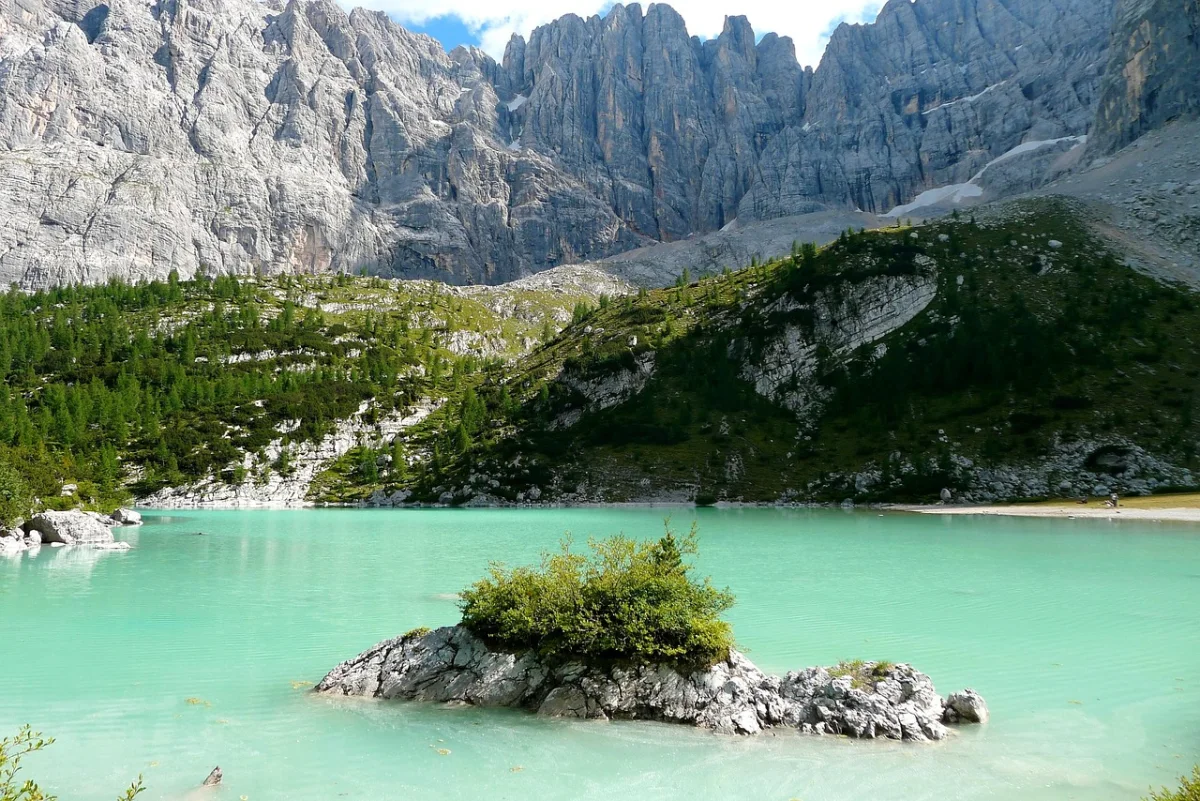
Lago di Sorapis has become famous for a colour that seems edited even in person: a milky blue-green created by fine rock particles carried from the surrounding mountain.
The classic route starts at Passo Tre Croci and follows path 215 through forest and across the slopes beneath the Sorapis group. The overall climb is not extreme, but the path includes metal ladders, cable-protected sections and exposed ledges.
The route to walk
Follow path 215 to Rifugio Vandelli and the lake, then return by the same route. The outward journey gradually becomes more dramatic, with views toward Cristallo, the Cadini di Misurina and the Tre Cime area before the lake appears in its rocky amphitheatre.
Why it is not a beginner’s lake walk
The photographs show calm water. The trail requires something else: sure-footedness, comfort with exposure and patience when hikers meet on narrow sections. Wet rock and early-season snow can change the difficulty considerably.
Make it quieter
Start at dawn or stay overnight nearby and walk before the main flow from Passo Tre Croci. Late summer weekdays and early autumn can feel calmer, provided the trail is free of snow and ice.
Good to know
- Use proper hiking footwear rather than casual trainers.
- Do not plan the route as a quick stop between other Dolomites attractions.
- Check the opening period of Rifugio Vandelli separately.
- Turn around when exposed sections are wet, icy or beyond your experience.
03 · Bernese OberlandOeschinensee, Switzerland
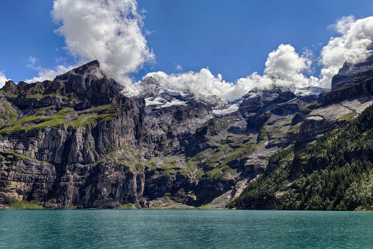
Oeschinensee sits beneath cliffs and glaciers above Kandersteg, held in a deep bowl where waterfalls drop from the surrounding walls.
The gondola makes the lake easy to reach, but it also creates two very different visits. One is a short walk from the upper station to a busy shore. The other uses the lake as the centre of a longer mountain hike.
Choose the route that fits
For an easy outing, take the panorama path from the gondola station to the lake. For a more demanding day, the Heuberg circuit climbs onto a narrow mountain trail above the water, passing Oberbärgli before returning along the lake.
The Heuberg route provides the view most visitors expect from photographs, but the official guidance is clear: it is intended for experienced hikers with very good stamina, sure footing and a head for heights.
Make it quieter
Walk up from Kandersteg, begin before the first busy gondola period or stay after the midday rush. Even a short move away from the restaurants and main shore path changes the atmosphere.
Good to know
- Book gondola tickets and time slots in advance when required.
- Check the live trail status because snow and rockfall can close individual paths.
- The easy panorama walk and the Heuberg mountain route are not interchangeable in difficulty.
- Weather can collect quickly in the enclosed mountain basin.
04 · VorarlbergLünersee Circuit, Austria
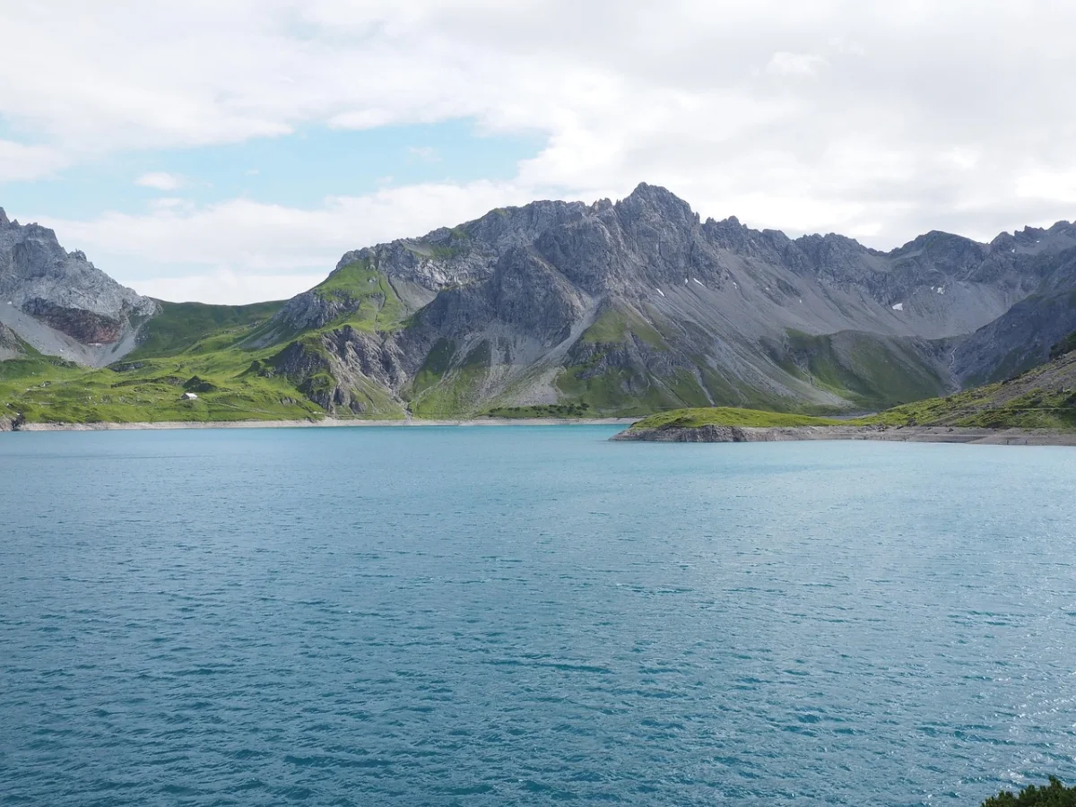
Lünersee offers something unusual in the Alps: the feeling of a high mountain lake without demanding a high mountain day.
The Lünerseebahn rises to the dam at almost 2,000 metres. From there, a gentle circuit follows the complete shoreline beneath the Rätikon peaks. The official route covers about 6.25 kilometres with limited ascent, making it one of the most accessible walks in this guide.
The route to walk
Walk the circuit in either direction from the cable-car station and Douglass Hütte. The far side of the lake feels more open, with long views back toward the dam and the Schesaplana massif.
When the easy route is not enough
Stronger hikers can branch toward Totalphütte or continue into the Rätikon. Those extensions change the outing from a lake circuit into a real mountain hike and should be planned separately.
Make it quieter
Take one of the first cable cars, walk the circuit before stopping for food and pause on the far shore rather than beside the upper station.
Good to know
- The cable car operates seasonally, and dates vary from year to year.
- The lake remains high enough for snow and cold wind well into the hiking season.
- The shoreline circuit is family-friendly, but higher extensions are not.
- Public buses serve the Lünerseebahn valley station during the operating season.
05 · Chamonix ValleyLac Blanc and the Chéserys Lakes, France
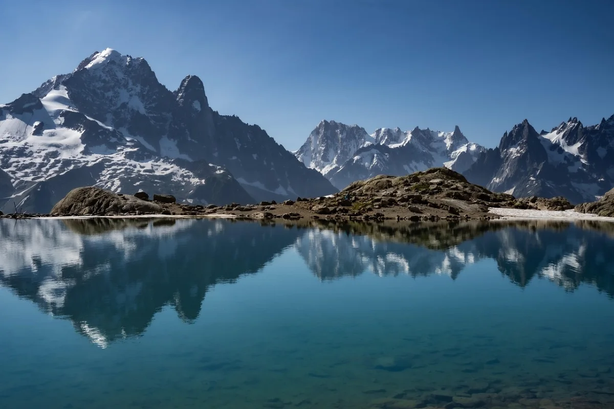
Lac Blanc is famous less for the lake itself than for what appears behind it: the glaciers and summits of the Mont Blanc massif reflected across the valley.
Several routes reach the lake through the Aiguilles Rouges reserve. The gentlest begins with the Flégère gondola and takes roughly two hours. Approaches from Col des Montets or Tré-le-Champ are longer and can include technical or airy sections.
The route to walk
Use the Flégère approach for a straightforward mountain day, then include the nearby Lacs des Chéserys to add a second set of reflections and spread the visitors across more trail.
The Chéserys lakes often provide a quieter pause than the rocks immediately beside Lac Blanc, particularly outside the middle of the day.
The rule many visitors miss
Swimming and boating are prohibited at Lac Blanc and the Chéserys lakes. These high-altitude waters are fragile, and the ban is intended to protect them from pollution and visitor pressure.
Good to know
- High routes may remain unsafe because of snow into early summer.
- Check lift operations and mountain conditions before travelling.
- The lower gondola-assisted route is still a mountain hike, not a paved viewpoint.
- Cloud can remove the Mont Blanc view while leaving the trail fully exposed to weather.
06 · Catalan PyreneesEstany de Sant Maurici, Spain
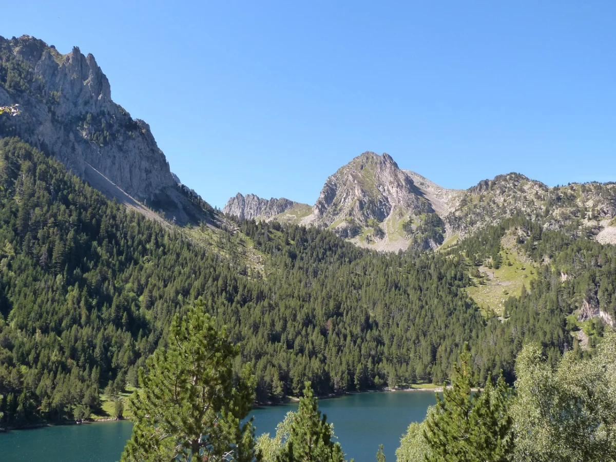
Aigüestortes i Estany de Sant Maurici National Park is less a single lake destination than a landscape built from water. The park contains close to 200 lakes, along with streams, waterfalls and high valleys.
Estany de Sant Maurici is the best-known eastern entrance to that landscape. The lake sits below the twin peaks of Els Encantats, but the better walks continue beyond the first viewpoint.
The route to walk
Begin from the Espot side and walk toward Estany de Sant Maurici, then continue toward the Ratera waterfall and Estany de Ratera. Stronger hikers can climb farther to viewpoints above the lake system or link several official trails.
Why one lake is not enough
The Pyrenean landscape unfolds in levels. Forest gives way to the main lake, then to smaller upper lakes and granite basins. Turning around at the first shore misses the way the water connects the valley.
Make it quieter
Arrive early, move beyond the main Sant Maurici viewpoint and avoid treating the park taxi drop-off as the end of the hike. The upper trails usually thin out quickly.
Good to know
- The park is a high-mountain area with long periods of snow and ice.
- Many routes have limited or no mobile coverage.
- Camping and bivouacking outside authorised mountain refuges are prohibited.
- Use the park’s recommended tracks rather than unverified user routes.
07 · Rila MountainsSeven Rila Lakes, Bulgaria
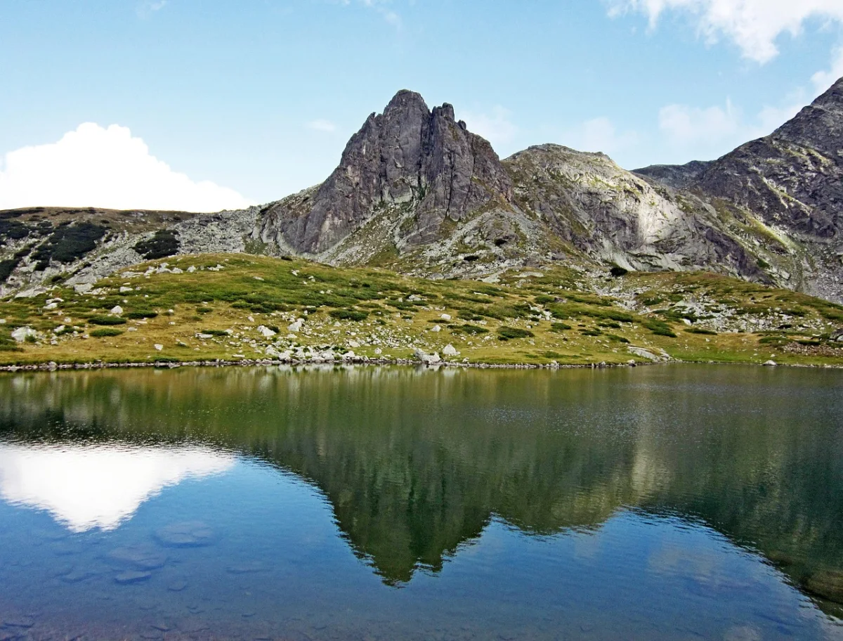
The Seven Rila Lakes are arranged like a lesson in glacial geography, each basin sitting above the next beneath the high ridges of the Rila Mountains.
The lakes are named for their shapes and characteristics — the Tear, the Eye, the Kidney, the Twin, the Trefoil, Fish Lake and the Lower Lake. The standard circuit begins near the Rila Lakes hut and climbs gradually through the chain.
The route to walk
Use the chairlift or hike from the lower station, then follow the marked route past the lower lakes toward the Kidney, Eye and Tear. The best overview comes from the higher ridge, where several lakes can be seen at once.
The contradiction
This is one of Bulgaria’s most visited mountain areas, yet the landscape is spacious enough that quiet can return once the first groups spread out. The route feels very different before the chairlift crowds arrive or after they begin descending.
Good to know
- The plateau is exposed to rapid weather changes and thunderstorms.
- Snow can remain outside the main summer season.
- Lift operations and queues should be checked before travel.
- Stay on the established paths to reduce erosion around the lakes.
08 · Lake DistrictButtermere Circuit, England
Buttermere is a short walk with the proportions of a much longer journey. In about seven kilometres, the trail passes woodland, farms, waterfalls, a carved rock tunnel and open shoreline beneath some of the Lake District’s steepest fells.
The circuit is mostly level, but one short rock step may require the use of hands. The National Trust recommends allowing around three hours, which leaves time to stop rather than treating the lake as an exercise loop.
The route to walk
Start in Buttermere village and walk anticlockwise through the woods. This places the more sheltered section first and returns along the open shoreline toward the village.
Why it feels complete
The path never climbs high, yet the enclosing fells make the valley feel almost Alpine. Waterfalls descend from the slopes, Fleetwith Pike appears to fall directly into the lake and every side of the circuit changes the composition.
A seasonal detour
A short permissive section on the north edge of the lake is normally closed from early April through late June to protect nesting sandpipers. Follow the signed alternative route during this period.
Make it quieter
Arrive by bus, walk early or continue to neighbouring Crummock Water after completing the circuit. Loweswater offers an even gentler and usually calmer alternative nearby.
National Trust: Things to do in Buttermere Valley ↗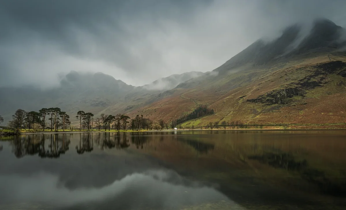
09 · AzoresSete Cidades Rim Trails, the Azores
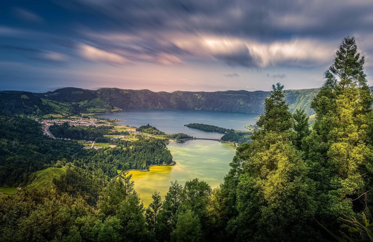
Sete Cidades is a lake walk viewed mostly from above. The trail follows the rim of a volcanic caldera, with blue and green water on one side and the Atlantic coast on the other.
Two official linear trails make the area easy to adapt. Vista do Rei to Sete Cidades covers about 7.5 kilometres, while Mata do Canário to Sete Cidades extends the rim walk to roughly 11.8 kilometres.
The route to walk
Choose Mata do Canário for the fuller experience. The trail passes old aqueducts, reaches viewpoints over several crater lakes and follows the northern rim before descending toward the village of Sete Cidades.
Why the weather matters more than the distance
The walking is not technically difficult, but low cloud can erase the entire reason for being there. Conditions shift quickly on São Miguel, and a sunny coast does not guarantee a clear caldera.
Make it quieter
Begin at Mata do Canário rather than only visiting Vista do Rei. Most visitors stop at the road viewpoints, while the rim trail gains space after the first kilometres.
Good to know
- Both main trails are linear, so arrange transport at the finish.
- The final descent can be steep and slippery.
- Wind and fog can arrive quickly on the exposed rim.
- Check the official trail page for closures before setting out.
10 · CairngormsLoch an Eilein, Scotland
Loch an Eilein is the quietest walk in this guide not because nobody knows it, but because the forest absorbs people.
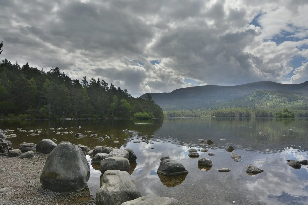
The five-kilometre circuit follows low-level paths through Rothiemurchus Forest, with ancient Scots pines reflected in the water and the ruin of a small island castle offshore.
The route to walk
Walk the complete circuit from the Loch an Eilein car park. The path stays close to the water for much of the route and can be extended through the wider Rothiemurchus trail network toward Lochan Mor.
Why it is different
Most entries in this list use a lake to frame mountains. Loch an Eilein uses water to deepen a forest. The view is intimate rather than grand, with wildlife, tree reflections and the castle appearing through gaps in the pines.
Make it quieter
Walk early or late and continue beyond the main castle viewpoint. The far side of the circuit is where the picnic stop becomes a proper forest walk.
Good to know
- The route is low-level and suitable for a broad range of walkers.
- Dogs should be kept under control around wildlife and nesting birds.
- Open flames and disposable barbecues are a serious fire risk in the forest.
- The loch is close enough to Aviemore to reach by bike or as part of a longer walk.
Which Lake Hike Should You Choose?
For an Easy Full Circuit
Choose Lake Bohinj, Lünersee, Buttermere or Loch an Eilein. Each route keeps the lake present for most of the walk without requiring a high summit.
For the Brightest Water
Lago di Sorapis and Oeschinensee provide the most dramatic colour, though both require more careful route selection than the photographs suggest.
For a High-Mountain Day
Choose Lac Blanc, the Seven Rila Lakes or the upper routes beyond Estany de Sant Maurici. These are mountain hikes first and lake visits second.
For the Quietest Atmosphere
Loch an Eilein is the calmest easy option. For a larger landscape, continue beyond the main viewpoints at Aigüestortes or walk the northern shore of Lake Bohinj early in the day.
For Something Beyond the Alps
Sete Cidades replaces glaciers with a volcanic crater, while Buttermere and Loch an Eilein bring lakes into the softer, wetter landscapes of Britain.
The Best Time for Lake Hiking in Europe
Late Spring
Lower lakes such as Bohinj, Buttermere and Loch an Eilein are usually accessible before the high Alpine routes. Snow, avalanche debris and damaged trails may still affect Sorapis, Lac Blanc, Oeschinensee and the Pyrenees.
Summer
This is the main season for the high lakes, but also the busiest. Start early, avoid exposed climbs during afternoon thunderstorm periods and reserve transport where required.
Early Autumn
September often provides the best combination of open trails, cooler air and fewer visitors. Shorter days and the first snowfall become increasingly important at altitude.
Winter
Low-level routes in Britain and around Lake Bohinj may remain walkable in suitable conditions. High lakes become winter terrain requiring different skills, equipment and official avalanche information.
How to Find Quiet at a Famous Lake
A famous lake does not automatically mean a crowded hike. The busiest point is often a small zone around a car park, lift station or first viewpoint.
- Start before the first major transport arrival.
- Walk the complete circuit rather than stopping at the first shore.
- Use weekdays outside school holidays.
- Choose the longer official approach instead of the shortest lift-assisted option.
- Pause away from huts, cafés and marked photo platforms.
- Travel in early autumn when trails remain open but day-trip numbers fall.
Quiet should not come at the cost of leaving the trail. Alpine and volcanic lake environments are easily damaged, and informal shortcuts often create erosion precisely where the landscape is most fragile.
Lake Hiking Safety
Cold Water
Clear water can be dangerously cold, even on a warm day. Do not enter unless swimming is permitted and you understand the conditions.
Fragile Shores
High-altitude lake edges contain delicate plants and wet ground. Stay on the marked path and use established resting places.
Reflections Can Hide the Forecast
Calm water photographs well, but nearby ridges may already be collecting cloud. Check mountain forecasts, wind and thunderstorm timing before leaving.
Return Routes Matter
A lake often feels like the destination, yet the exposed or technical section may still need to be repeated on the way back. Save energy and daylight for the return.
Swimming Rules Are Local
Do not assume that clear water is open water. Swimming is prohibited at Lac Blanc and the Chéserys lakes, and bathing is forbidden in the protected Alpine lakes of Triglav National Park.
What to Pack for a Lake Hike
- Footwear suited to the hardest part of the route, not the lakeshore.
- Windproof and waterproof outer layers.
- Warm layer for high lakes and long stops.
- Enough water even when the route follows visible water.
- Offline map and current trail-status information.
- Sun protection for exposed basins and crater rims.
- Trekking poles for repeated descents or slippery paths.
- Small first-aid kit and blister care.
- Headlamp for longer routes or early-autumn days.
- Swimwear only where bathing is clearly permitted and safe.
Frequently Asked Questions
What Is the Best Lake Hike in Europe?
For a complete and accessible day, Lake Bohinj offers the strongest balance of scenery, distance and easy logistics. For a dramatic mountain objective, Lago di Sorapis or Lac Blanc provides a more demanding experience.
Which Lake Hike Is Best for Beginners?
Loch an Eilein, Buttermere and the Lünersee circuit are the easiest choices in this guide. Beginners should still check weather, footwear and seasonal path closures.
Which European Lake Has the Clearest Water?
Clarity and colour are different qualities. Sorapis appears milky turquoise because of fine rock particles, while Oeschinensee and many Alpine lakes can look deep blue or green depending on light, sediment and weather.
Can I Swim in Alpine Lakes?
Sometimes, but not everywhere. Rules depend on the lake and protected area. Swimming is prohibited in several fragile high-altitude lakes, including Lac Blanc and the Alpine lakes of Triglav National Park.
Are Lake Hikes Easier Than Summit Hikes?
Not automatically. Sorapis includes exposed protected sections, Lac Blanc is a high-mountain hike and the Seven Rila Lakes remain vulnerable to fast-changing weather. Judge the route, not the destination name.
How Can I Avoid Crowds at Famous Lakes?
Start early, walk beyond the first viewpoint and travel on a weekday outside peak summer. Longer approaches usually become quieter than lift-assisted routes.
Do I Need Hiking Boots?
Trail shoes may be enough for dry low-level circuits such as Loch an Eilein. Sturdy hiking footwear is more appropriate for Sorapis, Lac Blanc and rocky high-mountain routes.
Which Lake Hikes Work Without a Car?
Lake Bohinj, Oeschinensee, Lünersee, Lac Blanc, Buttermere and Loch an Eilein can all be reached or approached using public transport, though seasonal schedules and final walking connections require planning.
Final Thoughts
A lake can be a destination, a mirror or simply the point where a trail changes direction.
At Bohinj and Buttermere, the pleasure comes from staying close to the shore. At Sorapis and Lac Blanc, the water is a reward earned after a mountain approach. Oeschinensee and Lünersee allow visitors to choose between an easy panorama and a harder route above it.
The Pyrenees and Rila Mountains turn one lake into a chain of higher basins. Sete Cidades asks you to see water from the rim of a volcano, while Loch an Eilein places a ruined castle and ancient forest between the walker and the mountains.
Arrive early, check the rules and keep walking beyond the first viewpoint. Clear water draws the crowd. The trail is where the quiet usually begins.