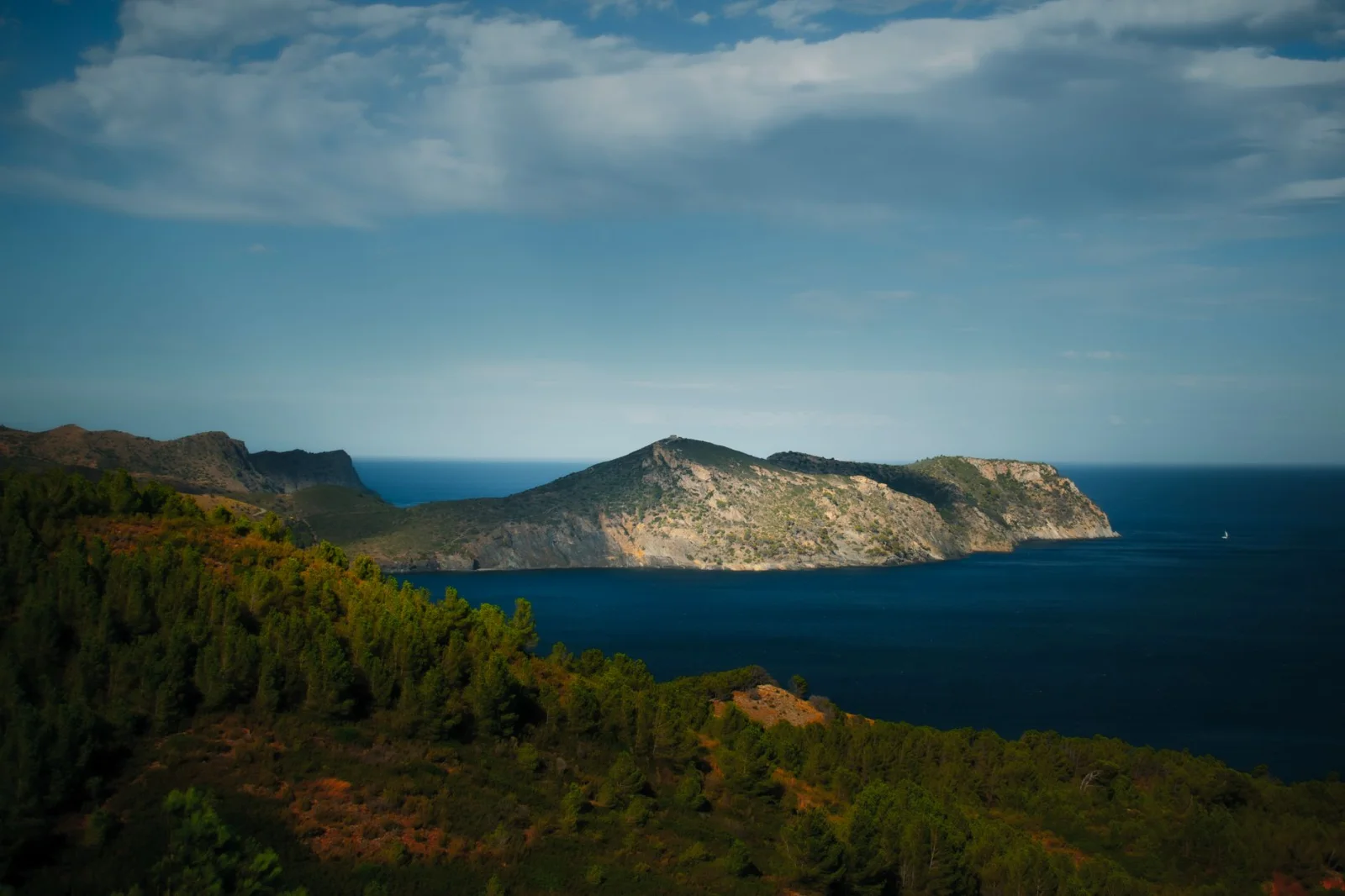
Ten places where winter means forests, wetlands and low coastal paths - without turning the holiday into snow hiking or mountaineering.
Winter does not close Europe's hiking season. It moves it south, lowers the altitude and changes what counts as a good walking day.
While the Alps, Tatras and Pyrenees move into snow, ice and avalanche terrain, paths on Atlantic islands, Mediterranean coasts and southern wetlands can remain green and walkable. The strongest summer heat has gone, famous viewpoints are quieter and a hiking day may finish beside a harbour rather than beneath a snowy summit.
That does not make winter walking risk-free. Rain can turn stone and wooden paths slippery. Strong wind can make an easy coastal route unpleasant. Short daylight leaves less room for delays, while seasonal cafés, buses and visitor centres may operate on reduced schedules.
The ten destinations below were selected with a conservative rule: the recommended route must be official, low in technical difficulty and normally outside snow and avalanche terrain. This guide does not include high summits, exposed winter ridges, routes requiring crampons or snowshoes, or trails where a mistake beside a cliff would have serious consequences.

Choose the route for the conditions, not simply the destination. A green island is not automatically a safe island; elevation and exposure still decide the day.
Winter Hiking Destinations at a Glance
| Destination | Conservative route | Distance | Difficulty | Main winter check |
|---|---|---|---|---|
| Madeira | PR 9.1: Queimadas-Pico das Pedras | 1.9 km | Accessible | Rain and live trail status |
| Tenerife | Sendero de los Sentidos | Short loop | Accessible | Wet wood and mist |
| La Gomera | Laguna Grande II | 3.8 km | Low | Damp stone and visibility |
| São Miguel | Chá Gorreana | 3.3 km | Easy | Rain, mud and road crossing |
| Algarve | Ria Formosa lowland paths | Flexible | Mostly easy | Wind and shared roads |
| Gozo | Xagħra Heritage Trail | Flexible | Leisurely | Wet limestone and traffic |
| Cyprus | Aphrodite Trail, Cape Greco | 2 km | Difficulty 1 | Coastal wind |
| Crete | Douliana-Gavalohori | About 1 hour | Easy | Wet cobbles after rain |
| Menorca | S'Albufera des Grau trails | Flexible | Family-oriented | Wind and mud |
| Formentera | La Savina-Sant Francesc-Es Pujols | 5.6 km | Easy | Wind and winter services |
01 · Madeira · PortugalMadeira: Forest Without the Famous Exposure
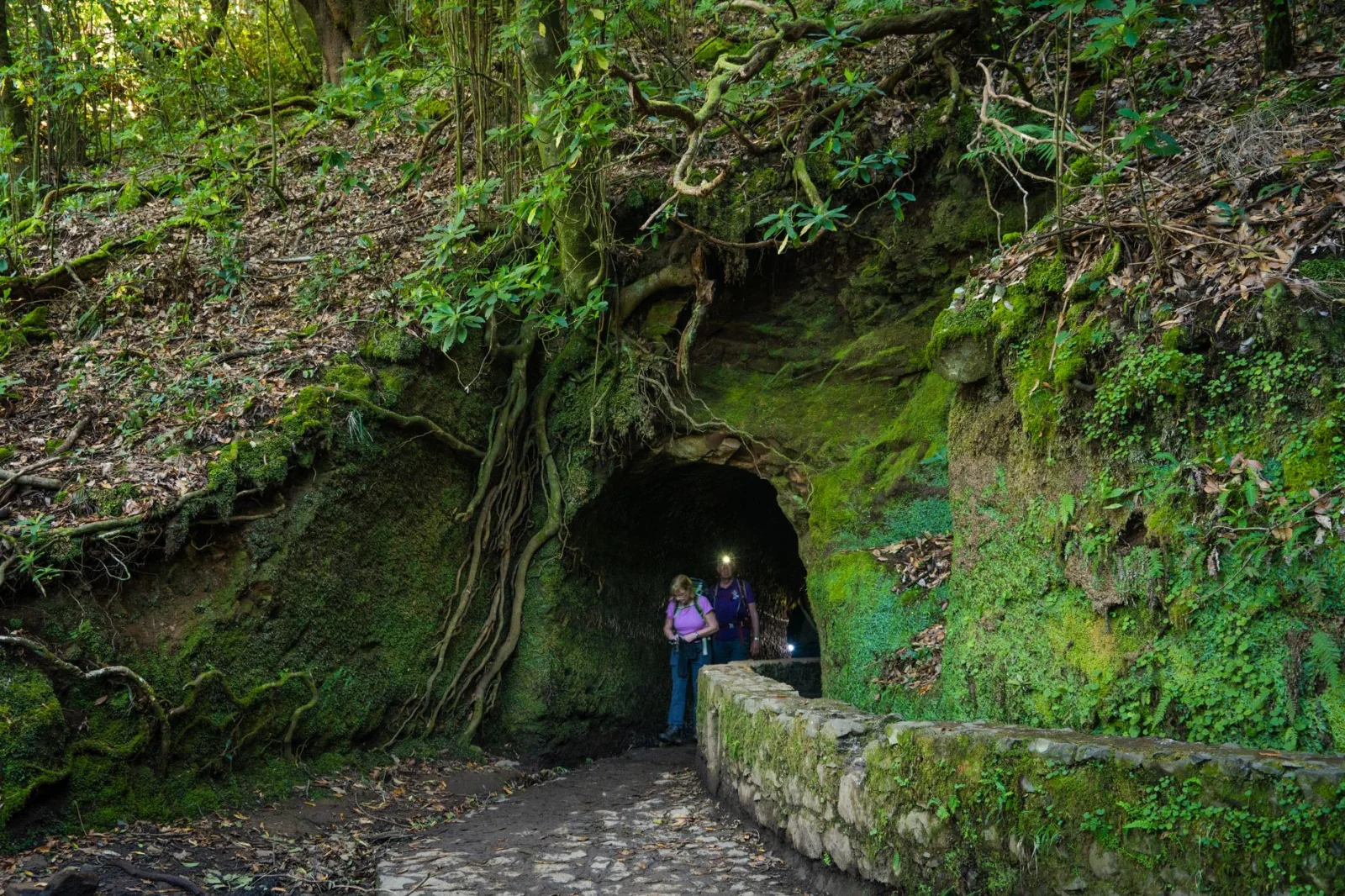
Madeira is often presented through its most dramatic routes: narrow levadas above steep valleys, long tunnels and the high traverse between Pico do Areeiro and Pico Ruivo.
None of those routes belongs in a guide focused on the lowest reasonable winter risk.
The Winter Route to Choose
PR 9.1 follows the broad levada esplanade between Queimadas Forest Park and Pico das Pedras. The official route is 1.9 kilometres long, takes around 45 minutes and was prepared for visitors with motor or visual disabilities. It remains between approximately 870 and 890 metres and passes through forest rather than exposed mountain terrain.
The important detail is the route number. PR 9.1 is the short accessible trail. It should not be confused with the full PR 9 Caldeirão Verde hike, which continues for many kilometres through tunnels and narrow terrain.
Why It Works
This route provides the atmosphere people travel to Madeira to find - flowing water, dense forest and the traditional buildings at Queimadas - without using a cliff-side levada as the price of admission.
It is also easy to turn around. The walk does not depend on reaching a distant waterfall, summit or transport connection at the opposite end.
02 · Tenerife · SpainTenerife: A First Walk Through Anaga Forest
Tenerife contains one of Spain's highest mountains, but a safe winter walking holiday does not need to go anywhere near it.
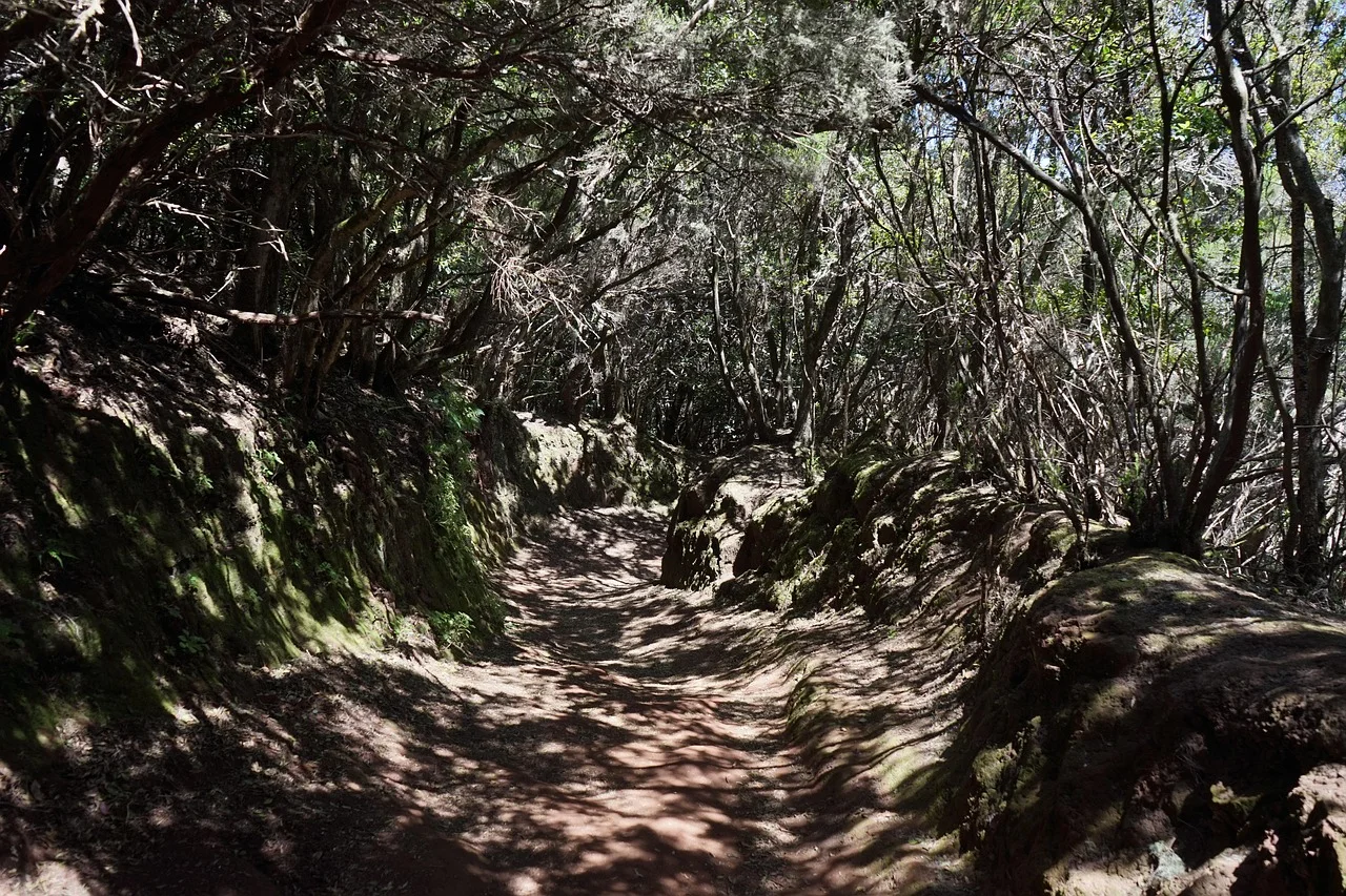
The Anaga Rural Park in the northeast offers a very different Tenerife: laurel forest, old paths and cloud moving between branches rather than snow collecting around a volcanic summit.
The Route to Choose
Sendero de los Sentidos begins at Cruz del Carmen and was created as a short, accessible introduction to Anaga. Tourism authorities describe it as suitable for people who do not hike regularly, visitors with disabilities and children. Interpretive features encourage walkers to experience the forest through sight, touch and smell.
This is the route to follow as marked. Do not automatically extend the day onto the longer paths descending through Anaga's steep ravines and remote villages.
Why It Belongs Here
The trail offers a real landscape rather than a paved seafront walk. The forest closes around the route, branches twist above the path and mist can make a short circuit feel surprisingly removed from the resort coast.
At the same time, the starting point is established, the route is brief and turning back is uncomplicated.
03 · La Gomera · SpainLa Gomera: A Low-Difficulty Forest Circuit
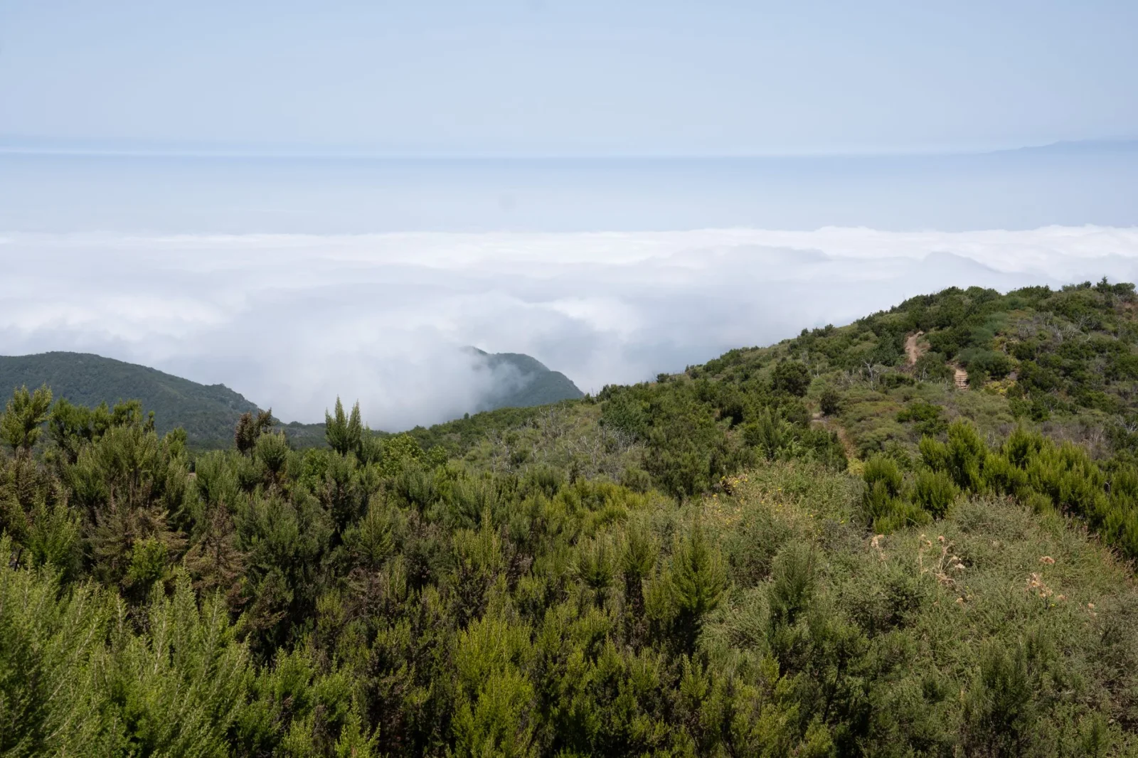
La Gomera's walking identity is often associated with steep valleys and old paths linking villages. The island can be demanding, but Garajonay National Park also maintains short, clearly described forest circuits.
The Route to Choose
Laguna Grande II is a 3.8-kilometre self-guided circuit with 100 metres of ascent and descent. The national park classifies it as low difficulty and gives an estimated duration of one hour and forty minutes. The route follows old paths through woodland and returns to the main Laguna Grande recreation area.
For an even shorter option, Laguna Grande I is a 0.9-kilometre circular trail with only 20 metres of height difference. It is officially described as a comfortable route recommended for all types of visitors.
Why It Works in Winter
Garajonay provides greenery without requiring a high ridge or a long descent toward the coast. The recreation area also makes the start and finish more straightforward than an isolated trailhead.
The shorter circuit is useful for families, cautious beginners or a day when conditions are uncertain. Laguna Grande II gives a fuller forest walk without changing the activity into a serious mountain outing.
04 · São Miguel · PortugalSão Miguel: Tea Fields Instead of Crater Rims
The Azores are green in winter, but they are also exposed to fast-moving Atlantic weather. A calm morning beside the coast does not guarantee clear conditions on a volcanic rim.
For a conservative first walk, stay away from narrow crater edges and choose agricultural terrain with easy retreat options.
The Route to Choose
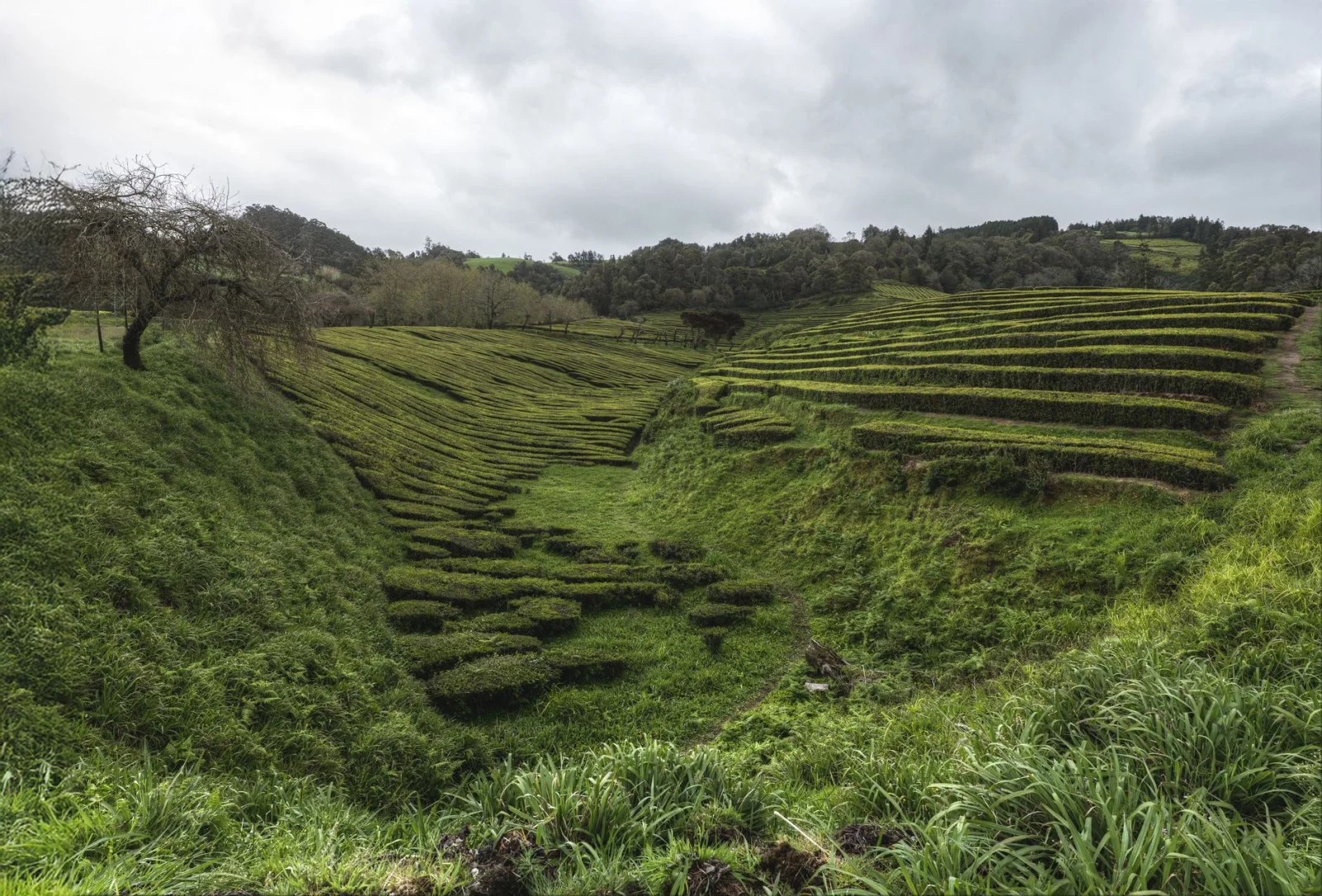
Chá Gorreana is a circular trail through the tea plantations on São Miguel. The official Azores trail system classifies it as easy, with a distance of 3.3 kilometres and an average walking time of about one hour and thirty minutes.
The route begins beside the Gorreana tea factory, climbs on dirt tracks through the plantation and enters a small area of Japanese cedar before returning through fields and tea plants.
Why It Belongs Here
The landscape remains distinctly Azorean without placing the walker on an exposed caldera. Tea rows, pasture and forest give the route a clear sense of place, while the factory provides an obvious starting point.
It is also easy to shorten. If the ground becomes too wet or cloud lowers over the hills, return the same way rather than forcing the complete circuit.
05 · Algarve · PortugalThe Algarve: Walk East, Away From the Cliffs
The Algarve is often represented by the golden cliffs of its western and central coast. Those cliffs make excellent photographs, but they are not the best foundation for a low-risk winter walking guide.
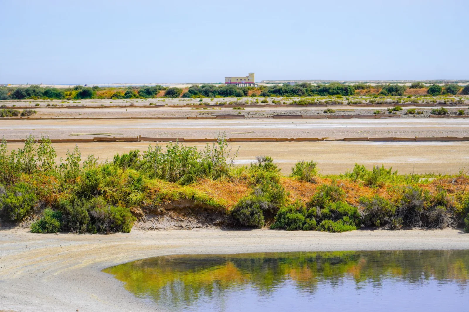
The eastern Algarve provides another landscape: lagoons, salt pans, low coastal paths and the protected wetlands of Ria Formosa.
The Area to Choose
Use the flatter southern and eastern parts of the Ecovia do Litoral or the official paths around Ria Formosa and the Castro Marim marshlands. Portugal's tourism authority distinguishes these calmer, flatter areas from the steep and exposed western coast and identifies September to June as the strongest period for walking in the Algarve.
Ria Formosa and Castro Marim are protected wetland landscapes that can be explored on foot, with paths passing salt pans, bird habitats and low coastal terrain.
Why It Works
There is no summit to reach and no cliff-top trail required. A walk can be adjusted around Faro, Olhão, Tavira or Castro Marim according to wind, rain and available transport.
This is winter hiking in its least dramatic and most forgiving form: level ground, broad views and towns close enough to provide an easy exit.
06 · Gozo · MaltaGozo: A Walk Through a Village and Its History
Gozo has spectacular cliffs, but this article deliberately leaves them out.
A winter day can still include limestone landscapes, rural views and a sense of travel without walking beside a major drop.
The Route to Choose
The Xagħra Heritage Trail is presented by Visit Gozo as a leisurely stroll through the village and its historic sites. The route links the central piazza, village church, an 18th-century windmill and the area around the Ġgantija temples.
This is more cultural walk than wilderness hike, which is precisely why it works for cautious winter visitors.
Why It Belongs Here
A route does not need to be remote to feel connected to the landscape. Xagħra sits among cultivated valleys and traditional stone buildings, with places to stop and enough village infrastructure to change the plan easily.
It is a useful choice for families, first-time walkers and days when coastal wind makes Gozo's open paths unattractive.
07 · CyprusCyprus: A Short Official Loop at Cape Greco
Cyprus has a clear winter divide. The Troodos Mountains can enter genuine snow conditions, while the southeast coast remains a low Mediterranean landscape.
For this guide, stay at sea level.
The Route to Choose
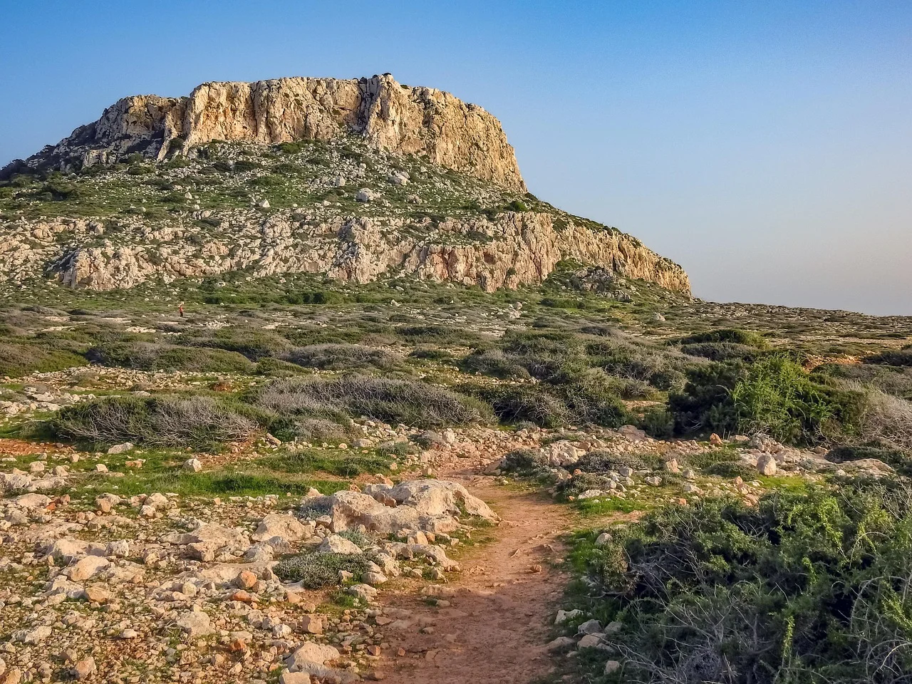
The official Aphrodite Trail begins at the Cape Greco visitor-centre parking area. It is a two-kilometre circular route with an estimated duration of one hour and an official difficulty rating of 1. Elevation ranges from approximately 10 to 60 metres.
The route passes low Mediterranean vegetation and archaeological remains before descending toward the coast and returning to the visitor centre.
Why It Works
The loop is short, officially described and begins from an established public facility. It gives walkers pine, juniper, sea views and a clear destination without requiring a long commitment.
The visitor-centre start also makes it easier to ask about local conditions rather than relying only on an app.
08 · Crete · GreeceCrete: Old Paths Between Two Villages
Crete's White Mountains and Psiloritis receive winter snow and support real winter mountaineering. Those regions are outside the scope of this article.
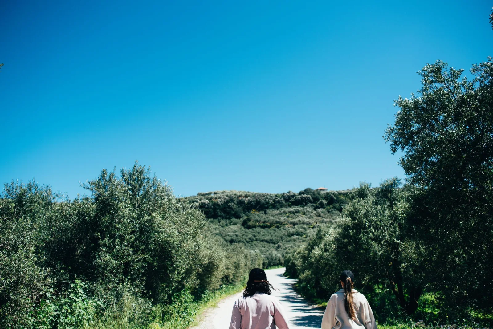
The safer version of winter walking in Crete takes place lower down, among villages, olive groves and old roads.
The Route to Choose
The official tourism site for Crete classifies the walk from Douliana to Gavalohori as easy, estimates about one hour and lists it as suitable throughout the year. The route uses an old cobbled path, passes a small rock-built church and finishes in a historic village with cafés and a folk museum.
Why It Belongs Here
This route offers what many people actually want from a winter hiking holiday: time outside, a landscape with character and somewhere comfortable to finish.
There is no need to enter a famous gorge or climb toward snow. The interest comes from vegetation, stonework, village architecture and the slower rhythm of moving between settlements.
09 · Menorca · SpainMenorca: Wetlands Rather Than Wild Headlands
The Camí de Cavalls circles Menorca for 185 kilometres and includes forests, beaches, wetlands and cliffs. It is an excellent long-distance route, but not every stage fits a guide designed around the least hazardous winter walking.
For a cautious day, leave the remote headlands for another trip.
The Routes to Choose
S'Albufera des Grau Natural Park has three land itineraries promoted for families: Sa Gola, Santa Madrona and Cala Llimpa. Sa Gola includes access toward the beach, Santa Madrona is particularly useful for birdwatching and Cala Llimpa stays beside the central lagoon.
These routes keep the day among lagoons, wetlands and forest rather than on an exposed section of the northern coast.
Why It Works in Winter
The Balearic Islands have a milder winter climate and fewer visitors than in summer. At S'Albufera, the interest comes from birdlife and a protected landscape rather than height or exposure.
10 · Formentera · SpainFormentera: A Nearly Flat Walk Around the Salt Lagoon
Formentera may be the least mountain-like destination in this guide. That is not a weakness.
Winter walking does not have to imitate summer hiking at a lower temperature. Sometimes the right route is almost flat, close to villages and interesting because the season brings birds rather than beach crowds.
The Route to Choose
Green Route 2 connects La Savina, Sant Francesc and Es Pujols while following part of Estany Pudent. The official route is 5.6 kilometres long, takes about 85 minutes on foot, gains only 23 metres and is graded easy.
The path passes the old salt-working landscape and the Es Brolls area beside the lagoon. Flamingos, grey herons and ducks are among the birds commonly associated with the wetland in winter.
Why It Belongs Here
There are no mountain passes, cables or exposed ridges. The route remains close to settlements and can be shortened by returning toward La Savina or Es Pujols.
For an even shorter walk, Green Route 17 between Sant Ferran, Es Pujols and Estany Pudent is 2.2 kilometres, takes around 35 minutes and is also officially graded easy.
Which Winter Destination Should You Choose?
For the Easiest First Walk
Choose Sendero de los Sentidos on Tenerife or Laguna Grande I on La Gomera. Both are short, established and designed for a broad range of visitors.
For a Real Forest Atmosphere
Choose the short accessible levada on Madeira or Laguna Grande II in Garajonay. Both feel enclosed by vegetation without requiring a high or exposed mountain route.
For the Flattest Walking
Choose Formentera or the wetlands of Ria Formosa. These are the strongest options for travellers who want distance without significant ascent.
For Culture as Part of the Walk
Choose Xagħra on Gozo or Douliana-Gavalohori on Crete. The route remains tied to villages, historic buildings and places where the day can be shortened easily.
For a Green Atlantic Landscape
Choose São Miguel. The tea plantation gives a distinctly Azorean walk without requiring a crater rim or high volcanic route.
For Families
Begin with Tenerife, La Gomera or S'Albufera des Grau. The destination still needs a suitable forecast, but the selected routes have short or family-oriented options and simple turnaround decisions.
What "Snow-Free" Really Means
No destination can promise that every point on the island or in the region will be free of snow.
Tenerife has Teide. Crete has the White Mountains and Psiloritis. Cyprus has Troodos. Madeira has high, exposed central peaks. A flight to a mild island does not automatically make every trail a winter walking trail.
In this guide, snow-free means the selected low route normally lies outside the destination's snow and avalanche environment. It does not mean:
- Every road will always be open.
- Every surface will be dry.
- Wind and rain cannot create danger.
- The route remains suitable during an official weather warning.
- A harder extension is safe because the first kilometre was easy.
Stay with the chosen low route and check the exact trailhead forecast.
When an Easy Winter Walk Should Be Cancelled
Do not begin simply because the route has an easy rating. Cancel or replace the walk when:
- The official route is closed or restricted.
- A strong-wind warning affects an exposed coast.
- Heavy rain or flooding is forecast.
- Thunder is possible during the walking window.
- Visibility is poor enough to hide signs or road crossings.
- The path is icy.
- Daylight is insufficient for the planned return.
- Transport to the finish is uncertain.
- Someone in the group is already tired, unwell or poorly equipped.
A wetland boardwalk, village path or forest loop usually provides an easier alternative. Use it. The purpose of this kind of winter trip is to keep walking, not to rescue the original plan.
What to Pack for Mild Winter Hiking
A green winter trail still needs a small weather and delay margin. Carry:
- Footwear with reliable grip.
- A waterproof jacket.
- A light warm layer.
- Water and a modest extra snack.
- An offline map or saved official route.
- A charged phone in a waterproof pouch.
- A small first-aid kit.
- A headlamp, even for a daytime walk.
- The official trail-status page saved before departure.
- Local emergency information.
Heavy winter boots, crampons and snowshoes should not be necessary on the routes selected here. When they become necessary, the outing has moved beyond the purpose of this guide.
Frequently Asked Questions
Where Can You Hike in Europe Without Snow in Winter?
The most reliable choices are low routes on the Canary Islands, Madeira, the Azores, Malta and Gozo, Cyprus, Crete, the Algarve and the Balearic Islands. Stay close to sea level or on low forest routes rather than assuming the entire destination is snow-free.
Is Winter Hiking in Southern Europe Safe?
It can be lower-risk than hiking in snowy mountains, but it is not automatically safe. Wind, rain, wet stone, short daylight, coastal edges and temporary closures remain important.
Which Destination Is Best for Beginners?
Tenerife and La Gomera offer the shortest and most clearly accessible routes in this guide. Formentera is the strongest option for a longer walk with almost no elevation gain.
Is Madeira Safe for Beginner Hikers in Winter?
Selected short routes can be appropriate. PR 9.1 between Queimadas and Pico das Pedras was specifically prepared as an accessible trail. The full Caldeirão Verde route and Madeira's high-peak trails are different outings and should not be treated as equivalent.
Do I Need Hiking Boots?
Not necessarily. Comfortable walking or trail shoes with good wet-surface grip may be sufficient for the easiest routes. Grip and fit matter more than the label on the footwear.
Should I Avoid All Coastal Trails in Winter?
No, but choose low paths set back from cliff edges. Avoid cliff-top routes, natural arches, sea caves and wave-washed rock during strong wind or rough seas.
Can I Rely on the Weather Forecast for the Nearest Town?
Use it only as a starting point. Check the exact trail area, elevation, wind and hourly rain. An island can have sunshine on one coast and poor conditions in its forest or interior.
Are These Routes Suitable for Children?
Several can be, especially Sendero de los Sentidos, Laguna Grande I and the family routes at S'Albufera des Grau. Suitability still depends on the child, weather, surface and adult supervision.
Final Thoughts
Winter hiking in Europe does not need to be an argument with snow.
On Madeira, a short levada passes through forest without continuing toward the famous tunnels. Tenerife and La Gomera use laurel woodland to turn a small circuit into a real change of landscape. São Miguel replaces crater exposure with tea fields, while the Algarve, Menorca and Formentera make wetlands part of the walking season.
Gozo and Crete show that an old village path can be enough. Cyprus offers a short official coastal loop, provided the walker stays on the marked trail and lets strong wind cancel the day.
Choose the easiest suitable route, not the most dramatic route nearby. Check the official status, read the forecast and leave enough daylight to return without hurry.
The trail may stay green. The good decision is what keeps the day comfortable.