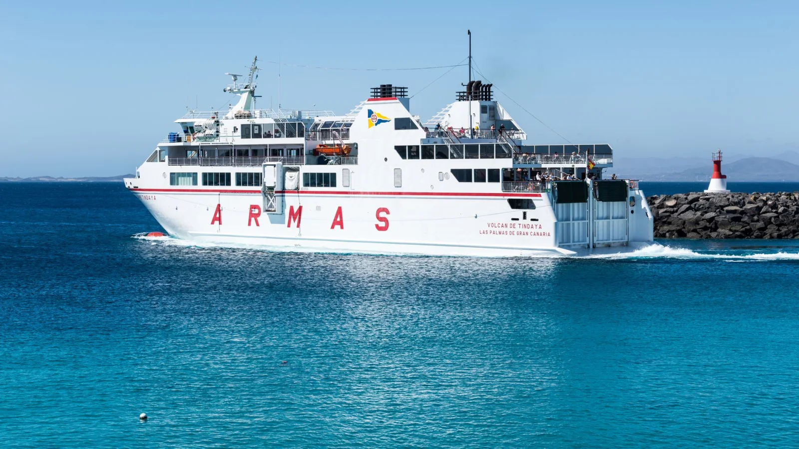
The trail ends at a pier.
Across the water, another island holds the next section of the route. There is no bridge and no path around the bay, only a timetable, a signal board and a ferry that may arrive twice a day.
This interruption changes the rhythm of walking. Distance is no longer measured only in kilometres. It is measured in crossings, weather windows and the time remaining before the final boat. On some routes the ferry joins two stages; on others it marks the clean boundary between mainland hurry and island pace.
The ten journeys below range from a multi-week passage through the Stockholm archipelago to a short ferry-linked escape between Gozo and Comino. Some are continuous long-distance trails. Others are networks that become a journey only when boats, buses and footpaths are fitted together carefully.
None should be planned from a trail map alone. Island services are seasonal, strong wind can cancel a crossing and a harbour café that looks permanent online may close after August. The best plans leave room for the sea to disagree.
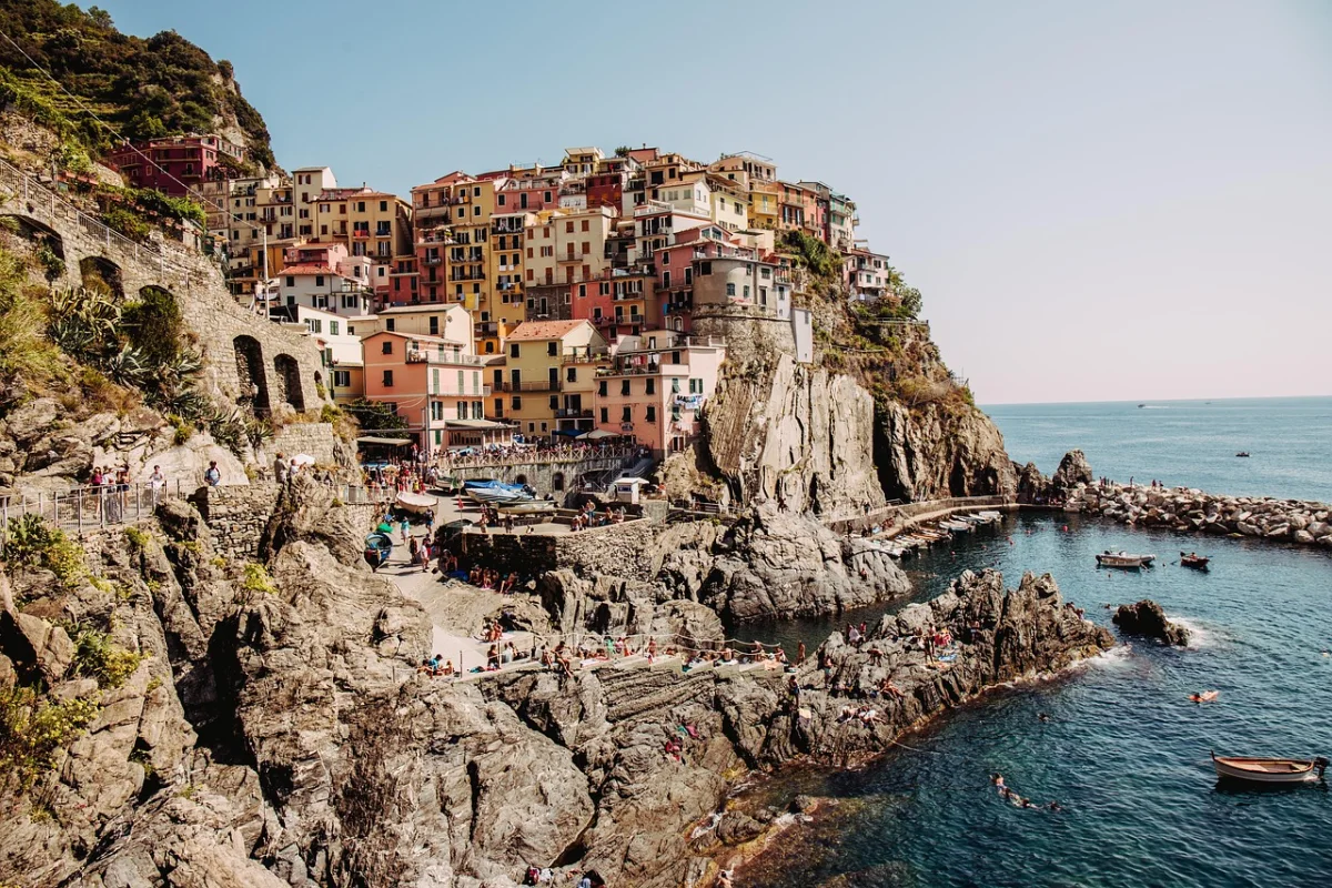
“On an island trail, distance is measured twice: once in kilometres, and again in departures.”
Island Hiking in Europe at a Glance
| Journey | Where | Scale and time | Ferry role | Best for and trade-off |
|---|---|---|---|---|
| Stockholm Archipelago Trail | Sweden | 270 km / 20 islands · Flexible: 4 days to 2+ weeks | Public ferries between sections | A complete island-hopping journey — Seasonal boat network |
| Hebridean Way | Scotland | 252 km / 10 islands · 12 sections / about 12-14 days | 2 ferries within the route | Wild Atlantic backpacking — Wind, bog and limited beds |
| Bornholm Coastal Path | Denmark | About 120 km · 7 stages / about 7 days | Starts at Rønne ferry harbour | A first island circuit — Some rocky and sandy stages |
| Arran Coastal Way | Scotland | 107 km · 6-8 days | Ferry docks at the start in Brodick | A compact Scottish journey — Boulder fields and tides |
| Camí de Cavalls | Menorca, Spain | 185 km · 20 official stages / 8-12 days | Ferries reach Maó and Ciutadella | Coves, history and village stays — Summer heat and scarce shade |
| GR 132 | La Gomera, Spain | 127 km · About 49 walking hours / 7-9 days | Ferry arrival in San Sebastián | Winter sun with real climbing — Relentless ascent and descent |
| Andros Route | Greece | 100 km · 10 sections / 7-10 days | The island is reached by ferry | Ancient paths between villages — Heat and seasonal services |
| Isle of Wight Coastal Path | England | About 109 km · 6 sections / 4-6 days | Trail access from 3 ferry towns | Easy car-free logistics — Cliff erosion and road sections |
| St. Olav Waterway | Finland and Åland | Choose a 4-5 day archipelago section · Flexible, from weekends to weeks | Road and passenger ferries are integral | Pilgrimage with island hopping — Timetables shape every day |
| Gozo and Comino | Malta | Linked day walks, not one trail · 3-5 days | Ferry to Gozo, boat to Comino | Warm-season short adventures — Heat and fragmented routing |
What Changes When Water Interrupts the Map?
A mainland trail can often be shortened by taxi, road or railway. An island route is less forgiving. A missed ferry may mean waiting until morning, and a cancelled crossing can remove an entire stage from the itinerary.
That constraint is not automatically a disadvantage. Boats create natural pauses. They give wet socks time to dry, divide a long route into chapters and turn logistics into part of the landscape. The strongest island journeys use the ferry rather than merely tolerating it.
The practical test is simple: a route works when its walking stages, accommodation and boat schedule can absorb one mistake. A plan that collapses after a delayed arrival is not an itinerary; it is a chain reaction.
01 · Archipelago · SwedenStockholm Archipelago Trail, Sweden
Twenty Islands, No Single Starting Line
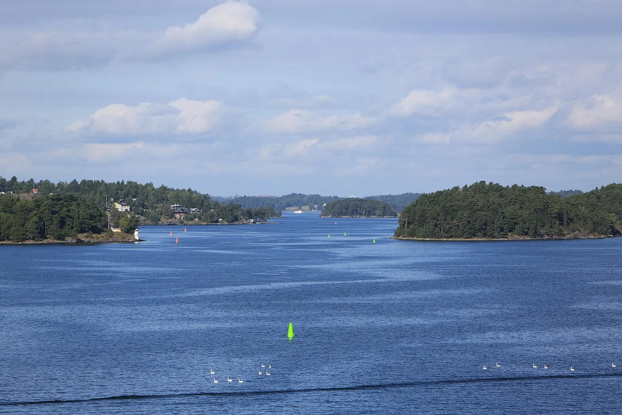
The Stockholm Archipelago Trail is less a conventional through-hike than a book whose chapters have been scattered across the Baltic. Its 270 kilometres are divided among 20 islands, from Arholma in the north to Landsort in the south. Each section is independent and reached through the public boat network, so there is no requirement to walk the trail in one direction or even in one trip.
That freedom is the attraction. A four-day journey can move from Grinda to Svartsö, Ingmarsö, Finnhamn and Möja; another can link Utö, Ålö, Nåttarö and Landsort. Accommodation ranges from inns and hostels to designated campsites, with ferries providing a regular reset between granite shores, pine forest and small harbour settlements.
The Signal Board That Stops the Boat
The ferry system rewards attention. At many archipelago piers, passengers must raise a semaphore to signal that they want the Waxholmsbolaget boat to stop. Failing to do so can turn a perfectly timed departure into the sight of a boat continuing past the island.
For 2026, the useful North-South Line operates from June 22 to August 16 and connects many of the trail islands. The route organisation recommends the quieter period around August 5-17, while warning that water taps, food shops and ferry frequency become less dependable outside the main season. This is the route where the timetable most clearly becomes part of the map.
02 · Outer Hebrides · ScotlandHebridean Way, Scotland
A Long Trail Held Together by Two Ferries
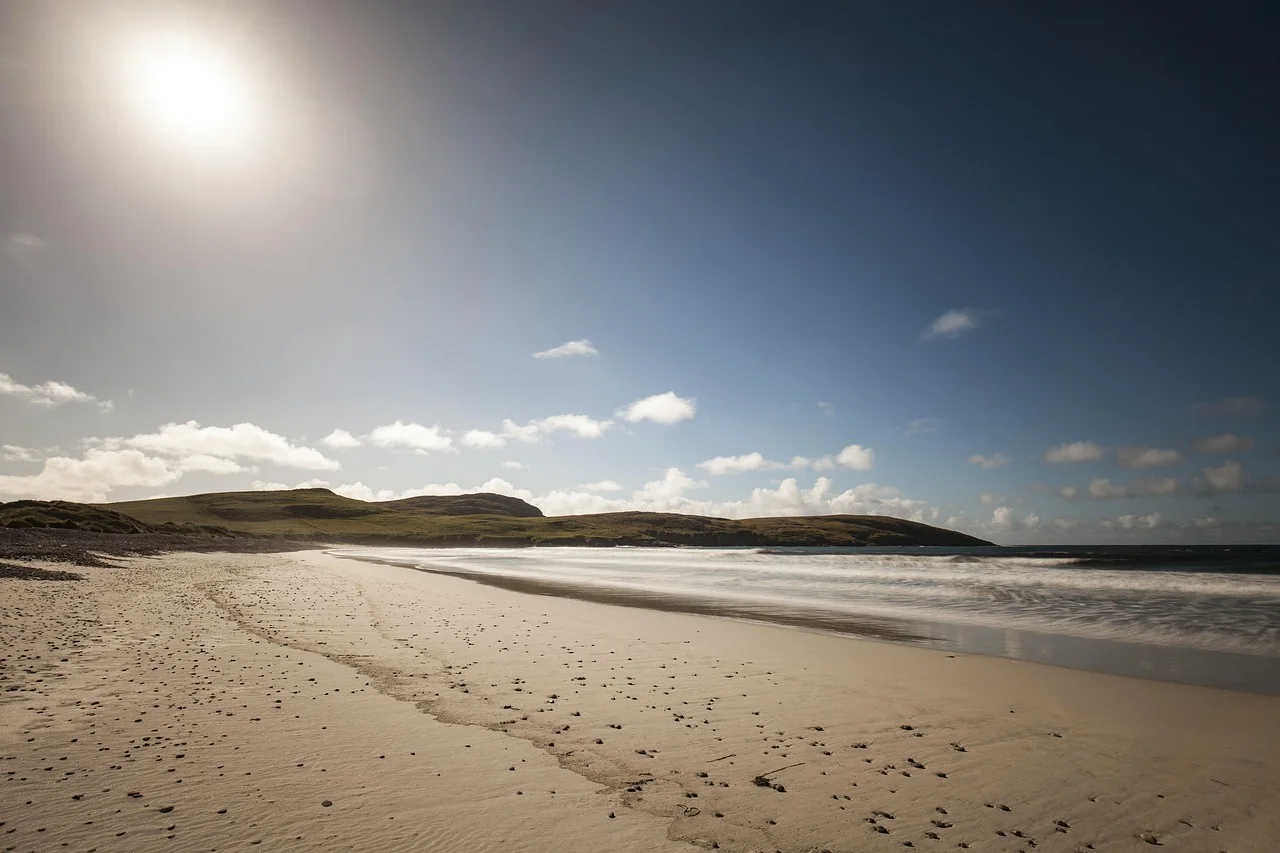
The Hebridean Way walks the length of the Outer Hebrides from Vatersay to Stornoway: 252 kilometres across ten islands, six causeways and two ferry crossings. Beaches, machair, peat moorland and mountain ground arrive in quick succession, but the route is also a journey through inhabited islands where Gaelic culture, crofting and ferry life remain visible.
The official route is divided into 12 sections. Two of them include ferries: Barra to Eriskay and Berneray to Leverburgh on Harris. The second crossing is followed by one of the route's hardest days, with wet, rough and sometimes pathless moorland. A scenic hour on deck does not make the walking after it easier.
Walk With the Wind, Not Against It
The recommended direction is south to north, partly because the prevailing wind is south-westerly. That advice matters more here than on a sheltered forest trail. A headwind across exposed machair can turn an ordinary distance into a long day, while rain can make moorland sections slower than their mileage suggests.
Beds, food and onward transport should be booked as one system. Island accommodation is limited, Sunday services can be thinner and official route pages currently carry diversions or advisories on several sections. The Hebridean Way offers one of Europe's clearest ferry-linked backpacking journeys, but it rewards walkers who treat every crossing as a fixed appointment.
03 · Bornholm · DenmarkBornholm Coastal Path, Denmark
Seven Days Back to the Same Harbour
Bornholm offers the satisfying geometry of a true island circuit. The Coastal Path begins near the welcome centre at Rønne harbour, follows roughly 120 kilometres of shoreline and returns to the same ferry town seven stages later. A walker can arrive from the mainland, turn north or south and finish without organising a transfer from a remote trailhead.
The route moves through more than 30 harbours and coastal settlements, yet much of the walking remains quiet. Old maritime rescue paths lead past smokehouses, fishing villages, white beaches, pine forest and the granite cliffs of the north. Resupply and rooms are frequent enough for a first island journey, especially in the main season.
The Coast Is Not Consistently Easy
Bornholm looks gentle on a map because it lacks high mountains. The path is more varied underfoot. One stage includes difficult sections around Vang; another crosses long beaches where soft sand changes the pace; the final return to Rønne uses pebble shore, steps and coastal slopes.
The ferry simplifies the beginning and end, but the middle still needs planning. Shops and public toilets are concentrated in towns, summer accommodation can fill early and some stretches have few useful shortcuts. Bornholm is the most approachable full island circuit in this selection, not a seven-day promenade.

04 · Isle of Arran · ScotlandArran Coastal Way, Scotland
The Ferry Arrives at the Start Line
The ferry to Brodick docks almost on the Arran Coastal Way. From there the 107-kilometre circuit travels anticlockwise around an island often described as Scotland in miniature: a mountainous north, gentler southern farmland, beaches, villages and long views back to the mainland.
The official itinerary suggests six to eight days. That makes Arran compact enough for a single holiday week but long enough for the island to change character repeatedly. Brodick, Lamlash, Whiting Bay and Lochranza provide useful breaks, and the circuit removes the need for a complicated end-of-trail transfer.
A Coastal Path With Boulder Fields Included
The phrase coastal way disguises the terrain. Some kilometres use boardwalks, tracks or quiet roads; others cross shore where progress depends on boulders, tide and balance. The path is not a continuous clifftop ribbon, and poor weather can make the rougher sections considerably slower.
The ferry is reliable enough to make Arran a strong car-free choice, but it is still wise to protect the final night. Finishing the circuit on the same afternoon as an essential mainland connection leaves no margin for a slow stage or disrupted sailing. Sleep in Brodick, then take the boat when the walking is already complete.
Arran Coastal Way - Scotland's Great Trails ↗
05 · Menorca · SpainCamí de Cavalls, Menorca
An Old Military Path Around Menorca
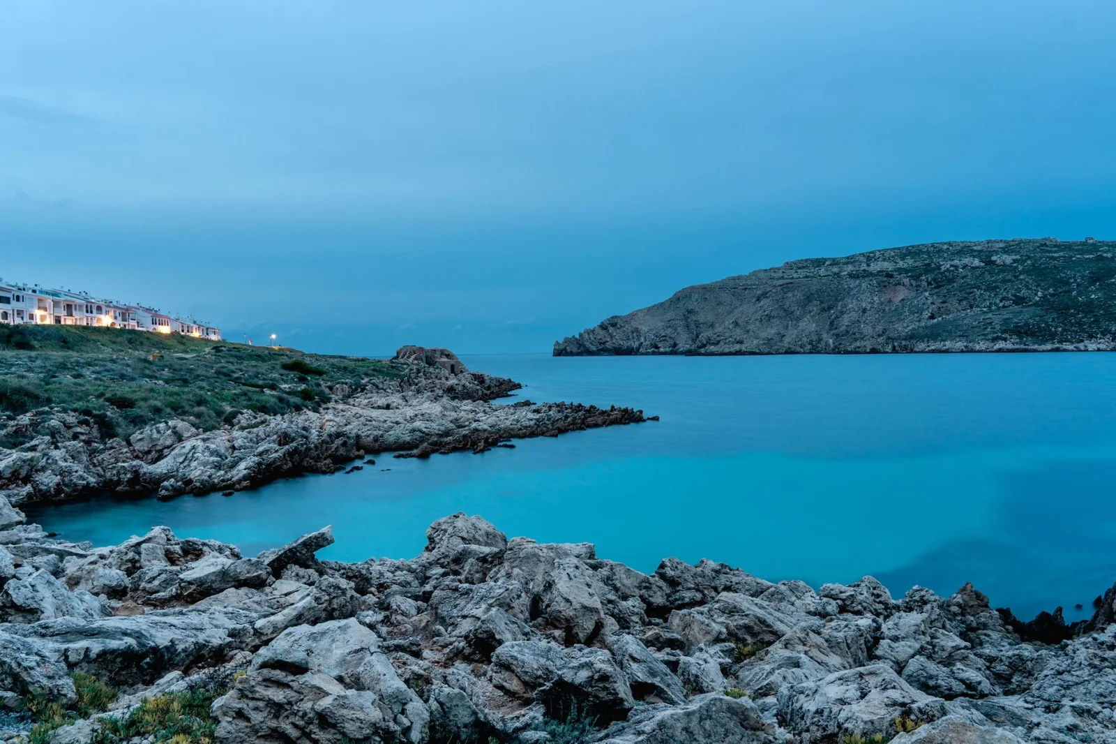
The Camí de Cavalls circles Menorca for 185 kilometres on the GR 223. Its name comes from the horses once used to patrol the island coast, and the modern route still passes defensive towers, lighthouses and old military viewpoints alongside coves, wetlands and pine forest.
Twenty official stages divide the circuit into manageable pieces, generally between five and 13 kilometres. That structure can be misleading: several short sections can be combined into a long day, but the repeated descent into coves and climb back to the headlands accumulates. The route is better treated as an island crossing repeated twenty times than as a flat beach walk.
The Heat Is the Real Mountain
Menorca has no alpine altitude, yet midsummer can be the wrong season for a full circuit. Exposed sections offer little shade, water is not continuously available and beach crowds can make transport and accommodation harder rather than easier. Spring and autumn usually offer a better balance of daylight, open services and walking temperature.
Ferries reach both Maó and Ciutadella, allowing several logical starting points. The strongest itinerary does not insist on completing all 20 official stages exactly as printed. It combines them around available rooms, water and bus links, while preserving enough time to stop at the coves that make the circuit worth walking.
06 · La Gomera · SpainGR 132, La Gomera
A Coastline That Refuses to Stay Level
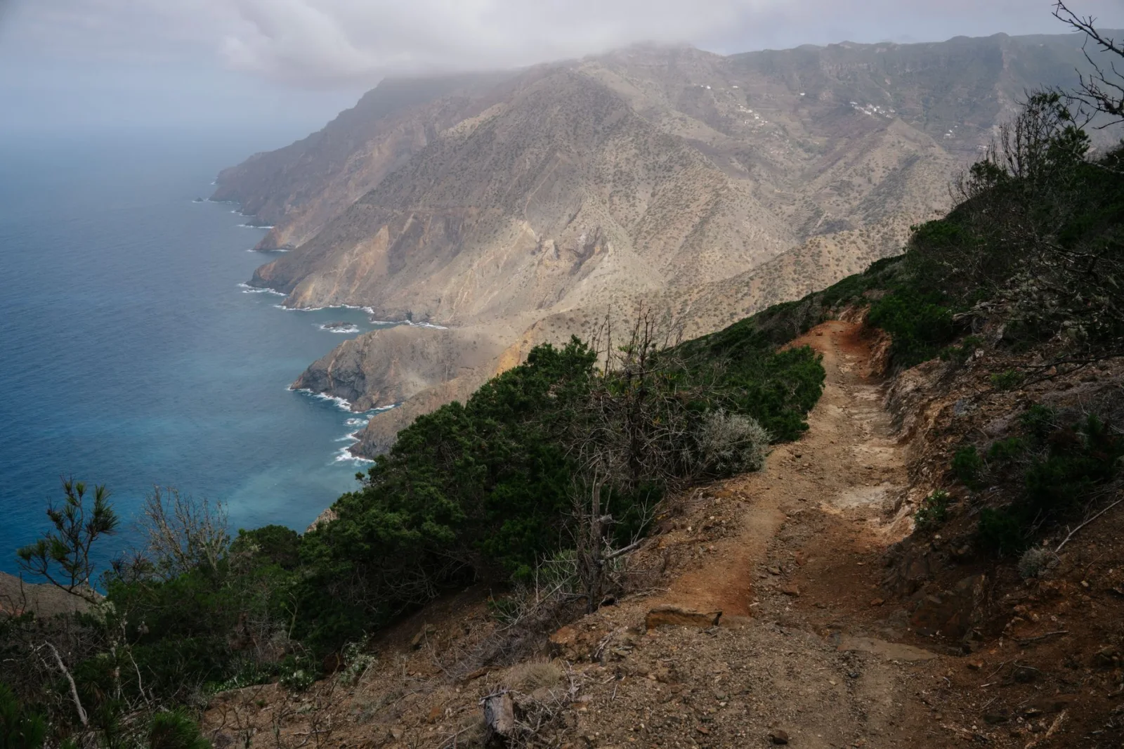
La Gomera appears compact from the ferry approaching San Sebastián. The GR 132 corrects that impression. Its 127-kilometre circuit follows the island's coastal fringe but repeatedly climbs away from the sea to cross ravines, ridges and old agricultural landscapes before descending again.
The official route estimate is about 49 walking hours, a figure that says more than the distance. Volcanic terrain turns neighbouring settlements into separate worlds, and the trail moves between dry southern slopes, palm groves, humid northern vegetation and cliff country where the Atlantic is visible but rarely reached directly.
Winter Sun Does Not Mean an Easy Winter Trail
La Gomera is one of the best options when northern ferry routes have entered their quiet season. The climate permits walking through much of the year, but the full GR 132 remains demanding. Heat, exposure and repeated elevation matter more than technical difficulty, and water cannot be assumed between villages.
The ferry from Tenerife places the walker in San Sebastián, the natural start and finish. A sensible plan uses seven to nine days, books village accommodation and keeps one flexible day for weather or fatigue. The island is small enough to escape by bus from several points, but deep ravines make those escapes less direct than the map suggests.
07 · Andros · GreeceAndros Route, Greece
The Ferry Is the Only Way In
Andros has no airport. The journey begins with a ferry from the Athens region to Gavrio, and that maritime threshold fits the route unusually well. Beyond the port, old stone-paved paths climb through villages, valleys, springs, monasteries and terraces that once formed the island's everyday transport network.
Volunteers have restored and marked more than 240 kilometres of paths. The certified Andros Route uses a continuous 100-kilometre line through the island, divided into ten daily sections. It is a village-to-village journey rather than a wilderness traverse, which makes guesthouses and local food part of the experience.
A Greek Island That Is Greener Than Expected
Andros differs from the dry-island stereotype. Water, shaded valleys and vegetation soften parts of the landscape, but exposed climbs remain hot. Spring and autumn suit the route better than high summer, when midday heat and seasonal pressure make long sections less forgiving.
The official stage pattern includes moderate sections with difficult passages, and the route does not simply move in one straight line from Gavrio to the south. A complete itinerary may involve transfers or a carefully chosen sequence of villages. The ferry arrival is simple; the path network deserves more attention than a beach holiday map will provide.
08 · Isle of Wight · EnglandIsle of Wight Coastal Path, England
Step Off the Ferry and Turn Onto the Path
The Isle of Wight is one of the easiest European islands to walk without a car. Ferries and hovercraft arrive at Ryde, Cowes and Yarmouth, and the 68-mile coastal path can be joined from each terminal. The route is divided into six sections, so the starting point can follow the cheapest crossing rather than a fixed trail tradition.
That accessibility changes the nature of the trip. Towns, buses and accommodation appear regularly, making it possible to shorten a day or walk the circuit over several weekends. The Needles, chalk downs, nature reserves, sandy seafronts and Victorian resort towns provide more variety than the island's modest size suggests.
Easy Logistics Do Not Remove Coastal Change
The path is not static. Cliff erosion, landslips and coastal works can alter short sections, while some stages include road walking. A historic map may be broadly correct and locally wrong. Current diversions should be checked before setting out, particularly after winter storms.
For a first ferry-based walking holiday, the Isle of Wight is hard to beat. The sea crossing is short, the path begins close to transport and a missed connection rarely becomes an emergency. Its trade-off is that the route feels inhabited throughout; those seeking prolonged solitude will find stronger options farther north.
09 · Archipelago Sea · FinlandSt. Olav Waterway, Finland and Åland
The Ferry Is a Rest Stop
St. Olav Waterway begins at Turku Cathedral and heads into the Finnish archipelago toward Åland and Sweden. It is a pilgrimage route, but its most distinctive feature is practical rather than religious: the route alternates walking with road ferries and passenger boats, allowing the sea crossings to become scheduled periods of rest.
The best first section runs from Turku through Pargas, Nagu and Korpo in four or five days. Free road ferries cross the main channels frequently, while optional outer-archipelago detours use less frequent passenger services that may require advance booking. Accommodation, cafés, churches and pilgrim stamps turn the route into a chain of inhabited islands rather than a self-supported expedition.
A Route That Can Grow Into a Continent
The Waterway continues through Åland to Sweden and can eventually connect with St. Olav routes toward Trondheim. Few walkers need that full ambition. The archipelago section works precisely because it can be cut into weekends, a four-day journey or a longer pilgrimage without losing its identity.
Timetables remain the governing document. Ferries from Pargas to Nagu and Nagu to Korpo are frequent and do not require booking for walkers, while connections to Kökar, Sottunga and the outer islands operate less often. A route that includes those boats should be planned around the crossing first and the daily distance second.
St. Olav Waterway - find your route ↗
Getting to and from St. Olav Waterway ↗
10 · Gozo & Comino · MaltaGozo and Comino, Malta
Two Islands, One Harbour
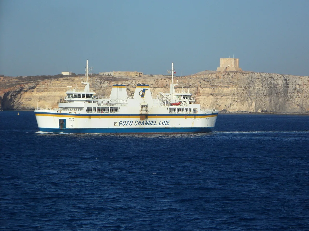
Gozo does not have one official coast path comparable with Bornholm or Arran. Instead, it offers nine planned walking routes that can be linked with buses and village stays. The ferry from Malta arrives at Mġarr Harbour, where one marked journey heads along the southern coast toward Xlendi Bay through Xatt l-Aħmar, Mġarr ix-Xini and the high cliffs near Ta' Ċenċ.
The lack of a single continuous trail can be an advantage for a shorter trip. Three or four days can combine the harbour-to-Xlendi route with the saltpans, Dwejra, Ta' Ġurdan and a village walk, without forcing a complete island circuit through road sections that add little.
A Second Ferry Turns a Walk Into Island Hopping
From Mġarr, small boats reach Comino in about 15 minutes. The entire small island can be walked in roughly three hours, passing garigue, cliffs, watchtowers and the heavily visited Blue Lagoon. Starting early or outside midsummer changes the experience more than adding extra distance.
Gozo and Comino are the warmest, easiest-to-shorten journey in this selection. They are also the least suitable for someone expecting a formally waymarked through-hike. Heat, cultivated land and fragmented routing require attention, but the frequent ferry to Gozo provides a forgiving introduction to planning a walking trip around boats.
Which Island Journey Should You Choose?
The best route is not necessarily the longest one. It is the route whose ferry frequency, terrain and accommodation match the amount of uncertainty you are willing to carry.
For a First Ferry-Based Hiking Holiday
Choose Bornholm, the Isle of Wight or the core Turku-Korpo section of St. Olav Waterway. Each has regular settlements, easier escape options and a transport system that does not depend on one rare boat. Arran is also manageable, provided the boulder-field sections suit your experience.
For a True Island-Hopping Backpack
The Stockholm Archipelago Trail, Hebridean Way and longer St. Olav Waterway sections place boats inside the journey rather than only at its edges. They require more timetable work but deliver the strongest sense that the sea is shaping the route.
For Spring or Autumn Sun
Menorca, La Gomera, Andros and Gozo work best when northern islands are cooler and quieter. Avoid treating warm weather as automatically easy: shade, water and exposed climbs become the central planning problems.
For the Clearest Full-Island Circuit
Bornholm, Arran, Menorca, La Gomera and the Isle of Wight return to their starting region. A circuit reduces transfer complexity and makes it easier to leave spare clothing or travel luggage near the port.
The Timetable Is Part of the Map
A ferry timetable should be read before the trail guide. Begin with the rarest crossing, then build the walking stages around it. Frequent road ferries can be treated almost like bridges; a passenger ferry with two departures a day cannot.
Save the current timetable offline and note the name of the pier in the local language. Island routes often use several harbours with similar names, and the landing place may differ between operators or seasons. On the Stockholm archipelago, remember that some piers require a raised signal board before the boat will stop.
Do not assume that an online planner already shows the complete season. Some operators publish schedules only weeks before they take effect. An absent journey may mean that the timetable is not yet released, but it is not evidence that a convenient boat will appear.
What Happens When the Ferry Does Not Sail?
Strong wind, mechanical problems and low-season changes can cancel a crossing. The correct response depends on the route:
- On a circuit such as Bornholm or Arran, shorten the stage and stay another night in the same town.
- On a multi-island route, identify the last island with food and accommodation before committing to the pier.
- Keep the final night near the mainland connection instead of finishing the trail and leaving Europe on the same day.
- Carry enough food and medication for one additional night, even when the planned stage is short.
Travel insurance may cover disruption, but it cannot create a bed on a small island during a busy weekend. A flexible reservation or a direct conversation with the accommodation is often more useful than a complicated claim later.
Sleeping: Tent, Inn or Harbour Room?
Island hiking does not imply wild camping. Sweden and Scotland allow broad public access, but nature reserves, cultivated land and local regulations still restrict where a tent can stand. The Stockholm Archipelago Trail explicitly warns that several islands have no campsite and that reserve rules differ from island to island.
Mediterranean routes work better as village-to-village journeys. Menorca, Andros, La Gomera and Gozo combine dry terrain, private land and limited legal camping options. Rooms cost more than a tent, but they reduce water weight, simplify food and make a hot-weather itinerary safer.
A mixed approach often works best: campsites or simple shelters on the Baltic routes, inns on islands with villages, and a deliberate hotel night before the final ferry. The goal is not to carry the maximum amount of independence. It is to carry enough independence for the weakest part of the transport plan.
Food and Water Between Harbours
Harbour settlements create false confidence. A marked shop may open only in July, a café may close two days a week and potable water can be switched off outside the main season. Carrying two litres from the start is the official recommendation on the Stockholm Archipelago Trail, and it is a useful minimum for several routes in warm weather.
Resupply is easiest on the Isle of Wight, Bornholm and Gozo. It becomes less predictable in the Outer Hebrides, the smaller Stockholm islands and outer sections of St. Olav Waterway. Mediterranean routes require the most disciplined water planning because the next village may be visible across a ravine and still several hours away.
Wind, Tide and Heat
Wind Changes More Than the Ferry
Wind affects whether a boat sails, how cold a pier feels and how quickly a walker crosses exposed ground. The Hebridean Way recommends south-to-north travel partly because of the prevailing south-westerly wind. On Baltic islands, strong wind also raises fire risk and can make exposed granite unexpectedly tiring.
Tide Is Local, Not Decorative
Arran and other Scottish coastal routes include rough shore where a higher tide may slow or complicate passage. Consult route-specific advice rather than relying on a generic tide table for the nearest large port.
Heat Is the Main Hazard in the South
On Menorca, Andros, La Gomera and Gozo, the most serious mistake is often starting too late. Use early ferries where possible, carry more water than the distance appears to require and do not plan a long exposed stage around a midday boat connection.
A Practical Packing List
- Offline route map and downloaded ferry timetable
- Power bank, charging cable and waterproof phone protection
- Light waterproof shell, even on a Mediterranean forecast
- Wind layer and warm hat for northern piers
- Two water containers rather than one large bottle
- One additional meal or substantial emergency food
- Small first-aid kit, blister care and personal medication
- Headlamp for late arrivals and signalling at dark piers
- Dry bag or waterproof liner for electronics and sleep gear
- Sun protection, tick protection and a compact insect repellent suited to the region
A heavy backpack is especially unpleasant when boarding small ferries, climbing harbour steps or crossing soft beach. Pack for the route you will walk, not for every island emergency imaginable.
Safety Before the First Ferry
Check three independent conditions on the morning of departure: the trail status, the weather forecast and the ferry operation. A route can be open while the boat is cancelled, or the ferry can operate while a coastal section is closed after erosion or fire risk.
Share the day plan with someone who is not walking. On lightly inhabited islands, emergency resources may come from the mainland and take longer to arrive. The European emergency number is 112, but a phone signal should never be treated as guaranteed.
Turnaround time on an island is not simply sunset. It is the time required to return to the pier before the last reliable departure, with enough margin for navigation errors and slower terrain.
Frequently Asked Questions
Do I need to reserve every ferry?
No. Frequent road ferries on St. Olav Waterway and several local crossings do not require reservations for walkers. Seasonal passenger boats and popular vehicle ferries may require or strongly recommend advance booking. Check the operator for the exact crossing.
Can I take hiking poles on European ferries?
Usually yes. Fold them and keep the tips covered in crowded passenger areas. Rules can differ on fast craft, so place poles inside or securely beside the backpack rather than carrying them loose.
Which route is easiest without a car?
The Isle of Wight, Bornholm, Stockholm Archipelago Trail and St. Olav Waterway have the clearest public-transport logic. Gozo is also simple because buses radiate from Victoria and the main ferry operates frequently.
Which route is best for wild camping?
The Hebridean Way offers the broadest backpacking culture, while parts of the Stockholm archipelago permit responsible one-night camping under Sweden's access rules. Local reserve regulations always take priority. Mediterranean routes are better planned around legal campsites or rooms.
Can I walk these routes in winter?
La Gomera, Gozo, Menorca and Andros can work in the cooler months, although rain, wind and reduced services still matter. Northern Baltic and Scottish routes become much more logistical outside spring to early autumn.
What is the safest way to handle the last ferry?
Plan to arrive at the pier at least one service earlier than strictly necessary when the onward connection matters. The final sailing should be a backup, not the only version of the plan that works.
Are island trails always coastal?
No. Andros climbs through inland valleys, St. Olav Waterway uses roads and village paths, and the Hebridean Way crosses moorland and mountain country. The sea shapes the journey even when it is temporarily out of sight.
How often should route information be checked?
Once when booking, again a week before travel and finally on the morning of each ferry-linked stage. Seasonal schedules, diversions and local closures can all change after a guide is published.
Final Thoughts
The ferry does more than deliver a walker to an island. It imposes a pause, breaks a long trail into chapters and makes the water visible as part of the route rather than empty space between destinations.
That is why the strongest island journeys are not necessarily the most remote. They are the ones where the boat, the path and the place make sense together: a signal raised on a Stockholm pier, a crossing into Harris before a hard moorland day, or a short Maltese ferry that turns an ordinary coastal walk into an island-hopping trip.
Plan the rare boat first. Leave room for wind. Carry one more meal than the timetable says you need. Then allow the interruption to become the reason for going.