Sweden is often reduced to two outdoor ideas: endless forest in the south and the Kungsleden in the north. The more useful picture lies between them.
A metro train from Stockholm can deliver a walker to the first orange trail marker. Ferries connect island sections where pine roots reach almost to the Baltic. Farther north, the forest begins to thin, the sky becomes larger and a three-day hut walk can feel like an introduction to a different scale of country.
The distances can be deceptive. Sweden has few high mountains by Alpine standards, but wet rock, roots, boggy ground, wind and long gaps between services can turn a modest elevation profile into a serious day. A route beside the sea may climb repeatedly over granite. A well-marked northern trail may still require self-sufficiency when the weather changes.
The ten routes below are not ranked. They were chosen to show how Swedish hiking changes from city forests and southern coasts to waterfalls, mountain stations and Arctic valleys. Several work as day hikes without a car. Others require three days or a full week and should be treated as journeys rather than attractions.
“The Swedish trail is rarely difficult because it is high. It becomes difficult when distance, water, wind and empty space begin to add up.”
Swedish Hikes at a Glance
| Route | Region | Best format | Character | Main trade-off |
|---|---|---|---|---|
| Stockholm Archipelago Trail | Stockholm coast | Day hike or island-hopping | Pine forest, granite and ferries | Timetables and seasonal services |
| Sörmlandsleden, Stage 1 | Stockholm | 8.5 km day hike | Lakes and forest from the metro | Mud and wet roots |
| Kullaleden | Skåne | 12 km full day | Beech forest and dramatic coast | Difficult, uneven terrain |
| Bohusleden | West Sweden | Day or multi-day | Lakes, forest and old routes | Fewer services farther north |
| Stenkällerundan, Tiveden | Central Sweden | 2.2 km short circuit | Boulders and old-growth forest | Rougher than the distance suggests |
| Bergslagsleden | Örebro County | Day or multi-day | Forest, lakes and mining history | Stage transport needs planning |
| High Coast Trail | Ångermanland | Sections or 5-7 days | Steep Baltic coast and forest | Repeated climbs and rocky ground |
| Njupeskär Trail | Fulufjället | 4 km half day | Waterfall, forest and fell edge | Snow and seasonal closure risk |
| Jämtland Triangle | Jämtland | 47 km / 3 days | Hut-to-hut open fell | Wind, fords and long stages |
| Kungsleden: Abisko-Nikkaluokta | Swedish Lapland | 107 km / 5-7 days | Arctic valleys and mountain huts | Remoteness and short season |
01 · Stockholm archipelago · SwedenStockholm Archipelago Trail
The Sea Arrives by Ferry
The Stockholm Archipelago Trail turns a collection of separate islands into a walking journey. Opened in 2024, the route now stretches for about 270 kilometres across 22 sections, linking around twenty islands from Arholma in the north to Landsort in the south.
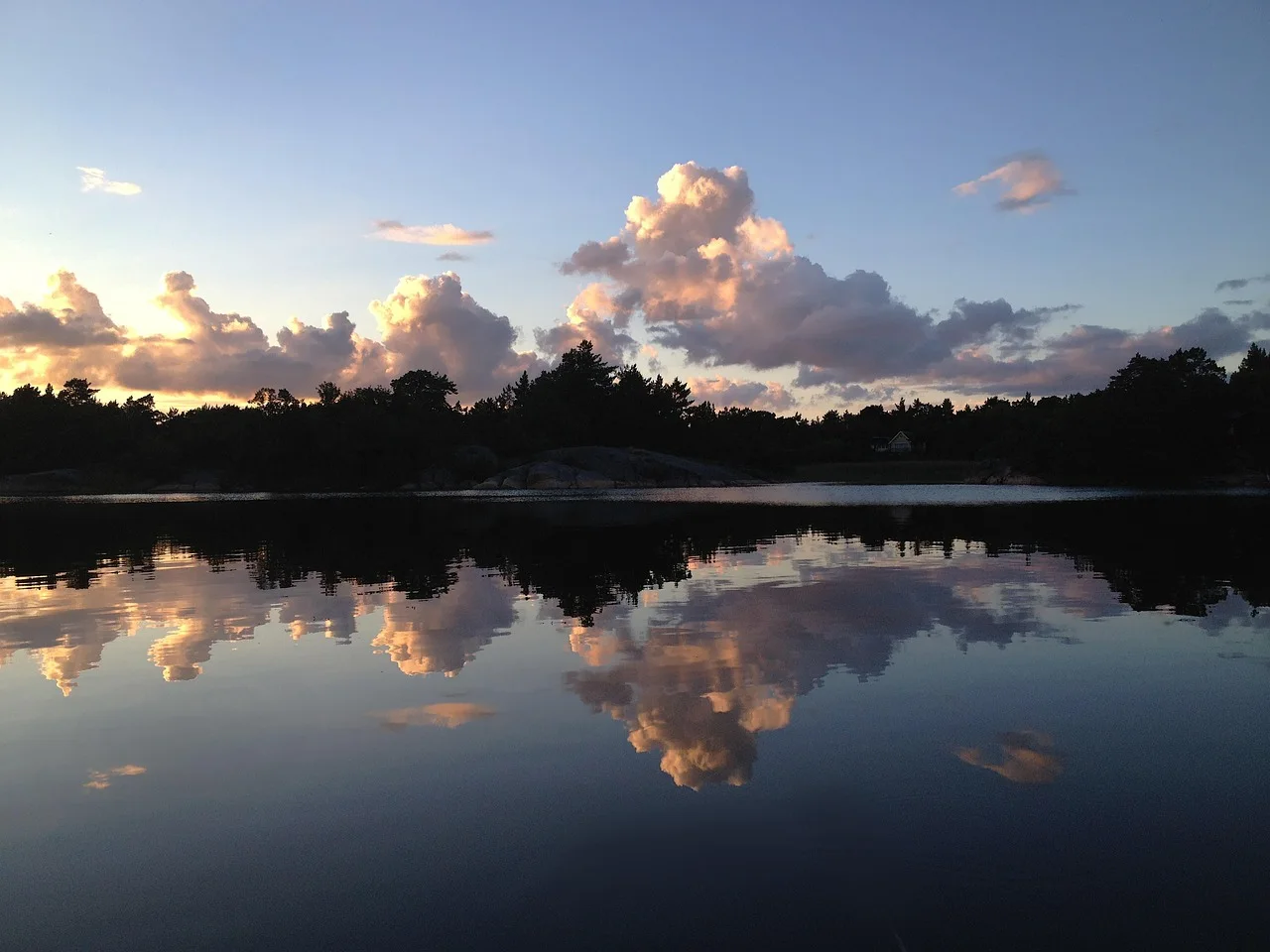
The landscape changes less through altitude than through exposure. One section moves through sheltered pine forest and old grazing land. The next crosses smooth granite, low heath and beaches where the Baltic occupies most of the horizon. Ferries are not simply transport to the trail; they are part of its rhythm.
The Section to Choose
Begin with Rånö. The official 12-kilometre section is graded easy and can be walked largely on slightly hilly gravel roads, with optional forest paths, swimming coves and open shoreline. Waxholmsbolaget ferries connect the island with Nynäshamn, and Rånö can be combined with nearby Ålö, Utö and Nåttarö when the timetable allows.
Why It Belongs Here
Rånö shows how Swedish coastal hiking can feel remote without becoming technically difficult. The island has enough services in summer to make a first visit simple, yet the trail quickly leaves the quay and enters quiet forest.
The Catch
Archipelago logistics are seasonal. Restaurants, shops and accommodation may close outside summer, while a missed ferry can become a much larger problem than a missed bus on the mainland. Plan around the final connection first, then decide how far to walk.
Official trail information: Stockholm Archipelago Trail - Rånö ↗
02 · Stockholm · SwedenSörmlandsleden, Stage 1
The Forest Begins at the Metro
Few long-distance trails announce their accessibility as clearly as Sörmlandsleden. Its first stage begins at Björkhagen metro station in southern Stockholm and enters the Nacka outdoor area almost immediately.
The complete Sörmland Trail extends for roughly 1,000 kilometres through forests, farmland and more than eighty lakes. Stage 1 is the practical introduction: 8.5 kilometres from Björkhagen to Skogshyddan on relatively easy paths, passing Söderbysjön and several places where the city becomes difficult to hear.
The Route to Walk
Follow the orange markings from Björkhagen toward Skogshyddan. The stage is short enough for a half day, but it can be linked with Stage 2 toward Alby friluftsgård for a longer linear walk. A conservative first visit stops after Stage 1 and uses the surrounding public-transport network rather than forcing a complicated late return.
Why It Belongs Here
This is the Swedish hiking idea in miniature: marked trail, lake, forest and public access beginning inside a capital city. It works after a late arrival, during a city break or as a test walk before a longer route elsewhere in the country.
The Catch
Low elevation does not guarantee dry ground. Roots, polished rock and wet forest soil can be slippery after rain. Winter ice can change the route completely, so ordinary walking conditions should not be assumed merely because Stockholm has no mountain forecast.
Official stage information: Sörmlandsleden - Stage 1 ↗
03 · Skåne · SwedenKullaleden, Skåne
Where Southern Sweden Finds Its Cliffs
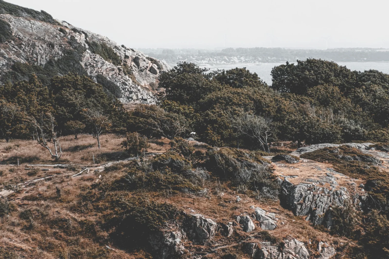
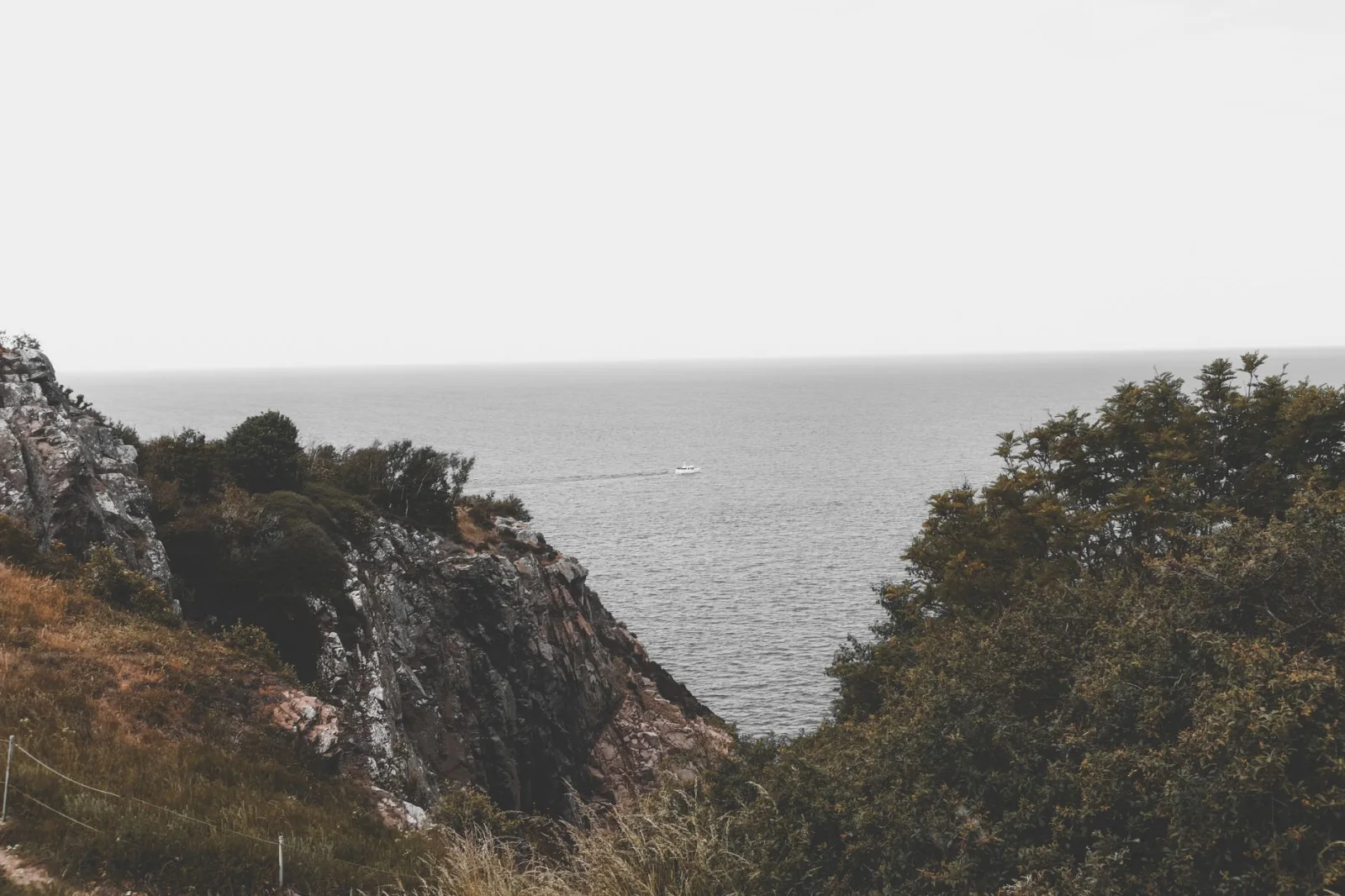
Skåne is Sweden at its gentlest until Kullaberg interrupts the pattern. The peninsula rises into a rugged headland of beech forest, caves, broken rock and sea views above the Kattegat.
Kullaleden forms part of the larger Skåneleden network and carries the Leading Quality Trails certification. The path feels more concentrated than most Swedish long-distance hiking: villages, woodland and dramatic coastal terrain arrive within one day.
The Route to Choose
The official Arild-to-Mölle suggestion covers about 12 kilometres. Buses make the linear format possible, and both villages provide a clear beginning or end. The route passes through Kullaberg Nature Reserve and should be allowed a full day rather than treated as a quick coastal stroll.
Why It Is Not an Easy Coast Walk
Skåneleden grades this section difficult. The path is winding and uneven, with repeated climbs, roots and rocky coastal terrain. The attraction is not a high summit but the constant change between dark forest and open sea.
The Catch
Strong wind, wet leaves and slick rock can make the route a poor choice even in mild weather. Use the bus to shorten the day when necessary, and do not leave the marked trail to approach caves or cliff edges.
Official hiking suggestion: Skåneleden - Coastal hiking on Kullaberg ↗
04 · West Sweden · SwedenBohusleden, West Sweden
The Coast Is Close, but the Trail Looks Inland
Bohuslän is famous for granite islands and fishing villages, yet Bohusleden spends much of its 350 kilometres inside the landscape behind the coast. The trail runs north from Älvsåker, outside Gothenburg, toward Strömstad through forest, lakes, waterfalls and old cultural sites.
That inland position makes the trail a useful contrast to the Stockholm archipelago and Kullaberg. The sea remains part of the wider journey, but the walking day is shaped by quiet woodland, small roads and freshwater rather than a continuous shoreline.
The Section to Choose
Use one of the southern stages reached by public transport from Gothenburg. These sections are the most practical for a first day and are described by Visit Sweden as suitable for day hikes and less experienced walkers. Farther north, the trail becomes more remote and the gaps between services increase.
Why It Belongs Here
Bohusleden demonstrates that a long-distance trail can support both a city break and a deeper journey. A visitor can walk for one day from Gothenburg or assemble several stages toward the Norwegian border.
The Catch
The northern half demands more planning for food, accommodation and transport. Mobile coverage and water access should be checked by stage, not assumed from the trail’s proximity to the populated west coast.
Overview and route information: Visit Sweden - Bohusleden Trail ↗
05 · Tiveden · SwedenStenkällerundan, Tiveden National Park
A Short Walk Through an Older Forest
Tiveden is the kind of forest that makes a map distance look unreliable. Huge boulders divide the path, roots cross dark soil and narrow crevices interrupt the direct line through the trees.
The national park contains more than 34 kilometres of marked trails. Many are hilly and challenging, but Stenkällerundan provides the clearest introduction from the main entrance.
The Route to Walk
The yellow-marked Stenkällerundan is 2.2 kilometres long and officially takes about one and a half hours. That pace says more about the ground than the distance. The circuit passes Stenkälla, an enormous glacial boulder, and moves through the mossy terrain that gives Tiveden its almost storybook character.
Why It Belongs Here
Not every memorable Swedish hike needs a full day. Tiveden provides old-growth atmosphere, geology and a proper sense of movement through terrain in a compact circuit.
The Catch
The path is not a flat family promenade. Rock, steps and roots require attention, particularly when wet. Longer routes such as Trollkyrkorundan are partly demanding and should be selected separately rather than added casually at the first junction.
Official park information: Tiveden National Park - Hiking trails ↗
06 · Örebro County · SwedenBergslagsleden
Lakes, Mines and the Long Interior
Bergslagsleden crosses a part of Sweden shaped as much by iron as by wilderness. The 280-kilometre trail runs through Örebro County in seventeen sections, linking forest, lakes, wetlands and the remains of old mining communities.
The route is less immediately famous than Kungsleden or the High Coast, which is part of its appeal. The landscape is inhabited and historical without feeling urban. A rusting structure, mine entrance or wooden village may appear after hours of ordinary forest walking.
How to Begin
Choose one of the nine circular day hikes connected with the trail, or use Nora as a practical base. A circular route removes the transport problem that complicates many linear stages and gives a first-time visitor time to understand the orange markings and ground conditions.
Why It Belongs Here
Bergslagsleden is the strongest route in this guide for travellers who want forest and cultural history in the same day. The trail passes Pershyttan Cultural Reserve and landscapes where mining, water power and woodland were once part of one working system.
The Catch
Stage connections can be infrequent. A route that looks close to a town on the map may still finish beyond useful public transport. Confirm the endpoint before committing to a linear day.
Official tourism overview: Visit Sweden - Bergslagsleden Trail ↗
07 · High Coast · SwedenThe High Coast Trail
Where the Land Is Still Rising
The High Coast is one of the few places where a geological process becomes visible in the shape of an ordinary hiking day. The land continues to rise after the last Ice Age, lifting forested hills and old shorelines above the Gulf of Bothnia.
Höga Kustenleden runs for about 135 kilometres in nine sections between Hornöberget and Örnsköldsvik. The full route usually takes five to seven days, but several of its strongest landscapes can be experienced on day sections around Skuleskogen National Park and Skuleberget.
The Section to Choose
For a first visit, base yourself near Docksta or the national park and select an official section that fits the weather. The route around Slåttdalsskrevan has changed because of rockfall risk: hikers no longer pass through the crevice, and the current marked detour should replace old GPX files and guidebooks.
Why It Belongs Here
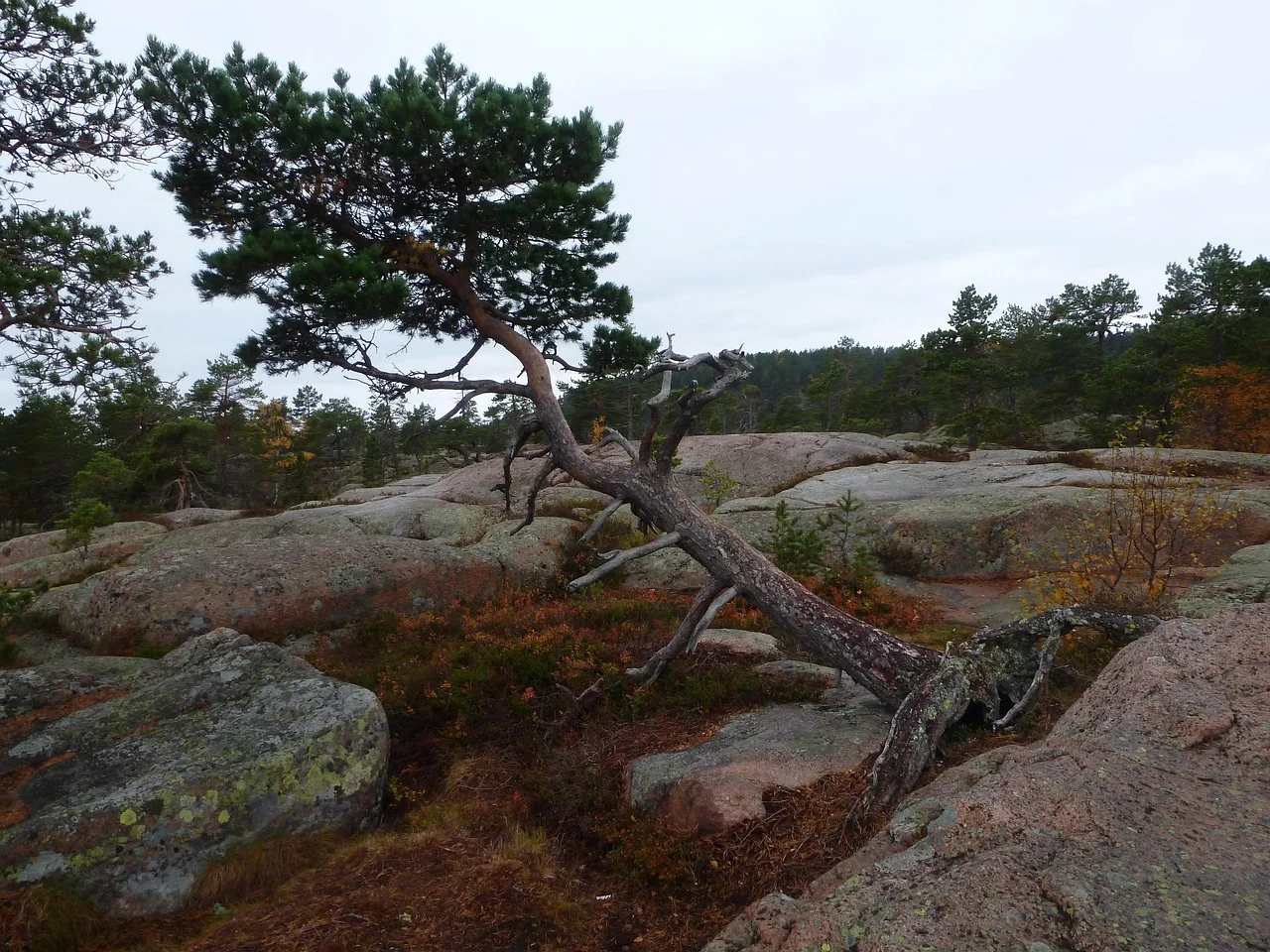
This is the route that most literally fulfils the article title. Dense forest repeatedly opens onto Baltic islands, red granite and water far below. The coast feels mountainous even though the highest points remain modest by Alpine standards.
The Catch
Repeated short climbs create more effort than the elevation figures suggest. Rock becomes slippery in rain, while old route descriptions around Slåttdalsskrevan can now be misleading. Use the current official map.
Official route overview: Visit Sweden - The High Coast Trail ↗
08 · Dalarna · SwedenNjupeskär Trail, Fulufjället
A Waterfall at the Edge of the Fells
Fulufjället is where the central Swedish forest begins to become mountain country. The park protects old coniferous forest, wetlands and a broad plateau, with Njupeskär falling 93 metres into a gorge near the main entrance.
The Route to Walk
Njupeskärsleden is a four-kilometre yellow-marked route from the visitor centre. Much of the approach uses packed gravel and broad boardwalk, although there are several substantial climbs. The southern part is adapted for accessibility, and the trail gives a strong introduction without requiring a journey onto the open plateau.
Why It Belongs Here
The route compresses a transition that defines much of Swedish hiking: forest, wetland, gorge and open fell atmosphere within one half day. Naturum Fulufjället also provides current advice before departure.
The Seasonal Warning
Official trail information: Fulufjället National Park - Njupeskär Trail ↗
09 · Jämtland · SwedenThe Jämtland Triangle
Three Days, Three Mountain Stations
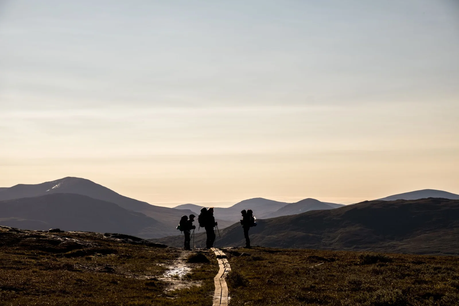
The Jämtland Triangle is one of the easiest ways to understand Swedish hut-to-hut hiking without pretending the mountains have become easy. The 47-kilometre circuit links Storulvån, Sylarna and Blåhammaren over three stages of 12 to 19 kilometres.
Mountain stations and cabins provide beds, self-catering kitchens, shops and, at selected stops, restaurants. The infrastructure removes a tent and several days of food from the backpack. It does not remove wind, wet ground or the need to move for six to eight hours.
How the Journey Works
Walk from Storulvån to Sylarna, continue to Blåhammaren and return to Storulvån. The first stage climbs gently above the birch forest. The second is the longest and can be exposed to strong wind. The final day is shorter and generally easier.
Why It Belongs Here
This is the most approachable multi-day mountain journey in the guide because every day ends at established accommodation. A night train and transfer from Duved can take walkers close to the start without a car.
The Catch
Streams may need to be forded during high water, and the long middle stage has little shelter from wind. The optional climb of Syltoppen is an alpine detour and should not be treated as part of the ordinary triangle.
Official route guide: Swedish Tourist Association - Jämtland Triangle ↗
10 · Swedish Lapland · SwedenKungsleden: Abisko to Nikkaluokta
The Trail That Makes Sweden Feel Very Long
Kungsleden extends for roughly 450 kilometres between Abisko and Hemavan, but most first journeys begin with a smaller commitment. The 107-kilometre route from Abisko to Nikkaluokta follows the King’s Trail for most of its length before leaving it near Singi for the approach toward Kebnekaise and Nikkaluokta.
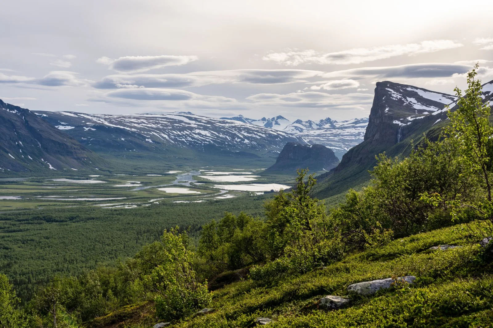
The Swedish Tourist Association divides the journey into seven stages, generally 12 to 21 kilometres and six to eight hours per day. Mountain huts, bridges and clear summer markings make the route organised by Arctic standards, not close to civilisation.
Why This Section Works
It begins at a railway station inside Abisko National Park and finishes with bus connections toward Kiruna. Birch forest, broad valleys, rivers and open mountain plateaus reveal the northern landscape gradually rather than through one summit day.
Why It Belongs Here
Kungsleden is the reference point against which other Swedish long-distance hikes are measured. This section is long enough to create a real journey while retaining huts and a recognisable stage structure.
The Catch
Seven days in Arctic terrain require more than fitness. Snow, cold rain, high water and long exposure can occur during the walking season. Hut shops reduce food weight but should not become the only plan. The optional Kebnekaise summit is a separate, more serious mountain objective.
Official route guide: Swedish Tourist Association - Kungsleden Abisko-Nikkaluokta ↗
Which Swedish Hike Should You Choose?
For a First Walk Without a Car
Choose Sörmlandsleden Stage 1. It begins at a Stockholm metro station, reaches lakes and forest quickly and can be kept short when the weather or group changes.
For Islands and the Sea
Choose Rånö on the Stockholm Archipelago Trail for an easier first island. Choose Kullaleden when you want a more demanding coast and are comfortable with uneven, hilly terrain.
For Deep Forest
Tiveden provides the strongest atmosphere in the shortest distance. Bergslagsleden is better for several days and for travellers interested in villages, mines and industrial history as part of the landscape.
For the Best Meeting of Forest and Sea
Choose the High Coast. No other route in this guide moves so repeatedly between inland forest and broad Baltic views.
For a First Hut-to-Hut Journey
Choose the Jämtland Triangle. The accommodation structure is reassuring, but walkers still need mountain clothing, navigation and enough endurance for long stages.
For a Full Northern Journey
Choose Abisko to Nikkaluokta. It offers the clearest introduction to Kungsleden and Swedish Lapland without committing to the full 450-kilometre trail.
The Best Time for Hiking in Sweden
Southern Sweden
Skåne, Stockholm and the west coast have the longest ordinary walking season. Spring can begin early, but wet ground and sensitive trails require restraint. May and June bring long days and fresh forest. September offers cooler air, mushrooms and autumn colour.
Central Sweden
Tiveden, Bergslagen and the High Coast are strongest from late spring into early autumn. Mosquitoes can be active near wetlands, while autumn darkness arrives more quickly than visitors from southern Europe expect.
The Fells and Swedish Lapland
The main summer hiking season normally runs from late June or July into September, depending on snow and hut openings. Early summer brings high water and mosquitoes. September can be clear and beautiful, but the first snow and hard frost may arrive without respecting the calendar.
Winter
Lowland paths may remain walkable in suitable conditions, but ice, darkness and prepared ski tracks change the activity. Northern mountain trails become ski or snowshoe terrain and require a different plan, equipment set and understanding of winter conditions.
Can You Hike in Sweden Without a Car?
Yes, but the answer changes by route.
- Sörmlandsleden begins at Stockholm public transport and is the simplest car-free choice.
- The Stockholm Archipelago Trail depends on ferries, which work well when the timetable is treated as part of the route.
- Southern Bohusleden sections can be reached from Gothenburg by public transport.
- The Jämtland Triangle connects with trains to Duved and a booked transfer to Storulvån.
- Kungsleden begins at Abisko railway station and finishes with a bus from Nikkaluokta toward Kiruna.
- Tiveden, parts of Bergslagsleden and many High Coast trailheads are less convenient without a car.
The practical rule is simple: plan the final connection before choosing the distance. A Swedish bus or ferry may be reliable but infrequent, and the last departure can be much earlier than sunset.
The Right of Public Access Is Not a Free-for-All
Allemansrätten allows people to walk through much of Sweden’s countryside, pick berries and mushrooms and spend limited time in nature. Its working principle is responsibility: do not disturb and do not destroy.
- Keep a respectful distance from homes and private living areas.
- Walk around growing crops, gardens and newly planted forest.
- Follow special regulations inside national parks and nature reserves.
- Take rubbish away, particularly from islands where waste removal is difficult.
- Respect fire bans and never light a fire directly on rock, which can crack from heat.
- Keep dogs under close control; additional leash rules apply during the wildlife breeding season and in protected areas.
Official guidance: Swedish Environmental Protection Agency - The Right of Public Access ↗
What Makes Swedish Hiking Difficult?
Wet Ground
Boardwalk does not cover every bog, and a dry forecast does not immediately dry the forest. Waterproof footwear or quick-drying trail shoes can both work, but the choice should match the route and temperature.
Rock and Roots
Granite slabs, polished roots and boulder fields slow progress. A fifteen-kilometre Swedish forest day may take longer than the same distance on an Alpine gravel road.
Wind
The Baltic islands, High Coast and open fells offer little shelter in exposed sections. Wind can lower temperature, affect ferry services and make a simple ridge or shoreline unpleasant.
Water Crossings
Bridges cover many important rivers, but high water can still create fords on northern routes. A crossing mentioned in an official guide should be reassessed on the day.
Distance Between Services
A marked trail may pass through a well-managed landscape without passing a shop. Carry food for the actual stage and confirm which huts or seasonal businesses are operating.
Ticks and Mosquitoes
Ticks are relevant in southern and central Sweden, particularly in grass and brush. Mosquitoes can be intense around northern wetlands in early and midsummer. Repellent, long clothing and a tick check are ordinary parts of planning.
What to Pack for Hiking in Sweden
- Waterproof jacket and a warm layer, even for a bright summer forecast.
- Footwear with grip on wet rock, roots and boardwalk.
- Offline map and the current official route description.
- Headlamp outside the weeks of longest summer light.
- Food for the stage plus a modest delay margin.
- Mosquito repellent and a tick-removal tool in the relevant season.
- Small first-aid kit and blister treatment.
- Power bank for multi-day routes, while keeping navigation independent of one battery.
- Physical map and compass for the open fells and Kungsleden.
- A bag for rubbish, especially on archipelago islands.
Frequently Asked Questions
What Is the Best Hike in Sweden?
For a complete northern journey, the Abisko-Nikkaluokta section of Kungsleden is the strongest choice. For a shorter trip, the High Coast offers the best combination of forest, climbing and sea views.
Where Can I Hike Near Stockholm?
Sörmlandsleden begins at Björkhagen metro station. The Stockholm Archipelago Trail adds ferry-accessed island sections, including the easier 12-kilometre Rånö route.
Is Hiking in Sweden Easy?
Some routes are technically straightforward, but wet ground, roots, rock, weather and long distances can increase difficulty. Read the individual stage description rather than judging Sweden only by elevation.
Can Beginners Hike Kungsleden?
A fit and well-prepared beginner can hike the Abisko-Nikkaluokta section, especially using huts. It is still a remote multi-day journey requiring weather protection, navigation and the ability to walk long stages repeatedly.
What Is the Best First Multi-Day Hike?
The Jämtland Triangle is the clearest first hut-to-hut option because it forms a three-day loop with accommodation at every stage. Its 19-kilometre middle day and exposed weather still deserve respect.
Can I Camp Anywhere in Sweden?
The Right of Public Access permits limited responsible camping in many places, but not beside homes, on cultivated land or where local protected-area regulations restrict it. Larger groups and repeated stays require more care or permission.
Do I Need to Carry Water?
Carry enough to remain safe between confirmed sources. Northern streams may provide water, but quality can change near settlements, grazing animals or after heavy rain. Use official route guidance rather than assuming every lake or stream is suitable.
When Is Mosquito Season?
Mosquitoes are often strongest in northern wetlands during early and midsummer, though timing changes with temperature and rain. Late August and September can be calmer, but colder nights and shorter days become more important.
Is Sweden Good for Hiking Without a Car?
Yes. Stockholm, the archipelago, the southern Bohusleden, the Jämtland Triangle and northern Kungsleden all have useful public-transport approaches. Remote day trails in national parks may be more difficult to reach.
Final Thoughts
Hiking in Sweden is not one long walk through identical forest.
Sörmlandsleden allows the trees to begin at a metro station. The Stockholm archipelago separates sections with ferries and open water, while Kullaberg gives southern Sweden a surprisingly rugged coast. Bohusleden and Bergslagsleden move inland through lakes, old routes and landscapes shaped by work as much as wilderness.
At the High Coast, forested hills rise above the Baltic. Fulufjället marks the transition toward the fells, and the Jämtland Triangle turns that open country into a three-day journey between mountain stations. Kungsleden then stretches the scale northward until a railway station, a hut and a distant valley feel like the essential pieces of civilisation.
Choose the route by format before choosing it by fame. A metro day, an island ferry and a seven-day Arctic trail ask for different kinds of preparation. The forest may be present in all three. What happens when it opens is what makes Sweden worth walking.